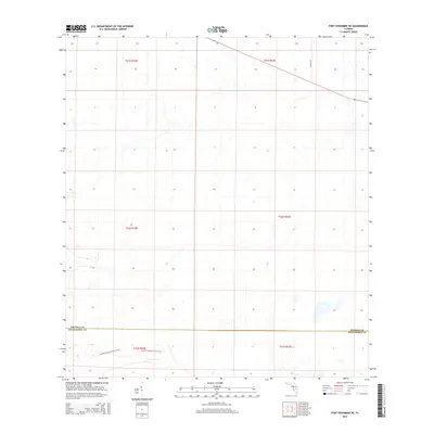
2015 Map of Fort Kissimmee NE
USGS Topo · Published 2015About this map
The Florida National Scenic Trail winds through the southern reaches of this landscape, crossing the administrative line where Osceola Co meets Okeechobee Co. This area represents a sparsely developed interior section of the state, dominated by an extensive grid of section lines rather than dense town centers. In the northeastern portion of the sheet, Peavine Rd provides the primary vehicular access through a terrain defined by subtle elevation changes and scattered water features. The map illustrates a moment in the mid-2010s where the land was largely managed for conservation and rural utility, preserving the trail corridor as a primary waypoint for hikers traversing the Florida peninsula.
Find a feature on this map
9 named features on this map. Tap any name to fly to it.
Don’t see what you’re looking for? This feature index may not catch every label — zoom into the map to look around manually.
Map Details
Editions of this 2015 Fort Kissimmee NE Map
This is the sole edition of this map. No revisions or reprints were ever made.
Other maps of this area

1952 · Fort Kissimmee
USGS Topo · 1:24,000

1952 · Fort Kissimmee NW
USGS Topo · 1:24,000

1953 · Fort Kissimmee NE
USGS Topo · 1:24,000

1953 · Fort Drum SW
USGS Topo · 1:24,000

1953 · Lake Marian SE
USGS Topo · 1:24,000

1953 · Fort Drum NW
USGS Topo · 1:24,000

1953 · Kenansville SW
USGS Topo · 1:24,000

1953 · Lake Marian SW
USGS Topo · 1:24,000

1953 · Fort Kissimmee SE
USGS Topo · 1:24,000

1956 · Fort Pierce
USGS Topo · 1:250,000