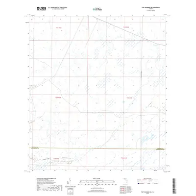
2018 Map of Fort Kissimmee NE
USGS Topo · Published 2018About this map
Florida National Scenic Trail traverses the southern reaches of this landscape, marking a pathway through the interior of the peninsula along the boundary between Osceola and Okeechobee counties. This portion of Central Florida is characterized by its complex hydrology, dominated by the Pine Island Slough and the expansive Dead Pine Island Marsh. These wetland systems indicate a landscape largely untouched by intensive development, where water determines the movement of both people and wildlife. The only significant vehicular access into this marshland is provided by Corn Hornet Guide Rd, which serves as a remote link through the northern sections of the quadrangle.
Find a feature on this map
11 named features on this map. Tap any name to fly to it.
Don’t see what you’re looking for? This feature index may not catch every label — zoom into the map to look around manually.
Map Details
Editions of this 2018 Fort Kissimmee NE Map
This is the sole edition of this map. No revisions or reprints were ever made.
Other maps of this area

1952 · Fort Kissimmee
USGS Topo · 1:24,000

1952 · Fort Kissimmee NW
USGS Topo · 1:24,000

1953 · Fort Kissimmee NE
USGS Topo · 1:24,000

1953 · Fort Drum SW
USGS Topo · 1:24,000

1953 · Lake Marian SE
USGS Topo · 1:24,000

1953 · Fort Drum NW
USGS Topo · 1:24,000

1953 · Kenansville SW
USGS Topo · 1:24,000

1953 · Lake Marian SW
USGS Topo · 1:24,000

1953 · Fort Kissimmee SE
USGS Topo · 1:24,000

1956 · Fort Pierce
USGS Topo · 1:250,000