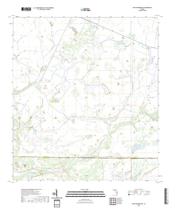
2024 Map of Fort Kissimmee NE
USGS Topo · Published 2024About this map
The vast prairie and marshlands of the Osceola and Okeechobee county border dominate this interior Florida landscape. Defined by a complex network of seasonal wetlands and drainage patterns, the area features prominent hydrologic landmarks like the Pine Island Slough and Dead Pine Slough, which weave through the southern portion of the quadrangle alongside the Pine Island Marsh. This map provides a look at the modern land management and recreation infrastructure of the region, specifically focusing on the intersection of major preservation corridors. The Florida National Scenic Trl and the Kissimmee Prairie Preserve State Park Trl provide the primary human access through this largely undeveloped ecosystem. The limited road network, including the remote Corn Hornet Guide Rd, underscores the protected nature of this central Florida prairie landscape.
Find a feature on this map
13 named features on this map. Tap any name to fly to it.
Don’t see what you’re looking for? This feature index may not catch every label — zoom into the map to look around manually.
Map Details
Editions of this 2024 Fort Kissimmee NE Map
This is the sole edition of this map. No revisions or reprints were ever made.
Other maps of this area

1952 · Fort Kissimmee
USGS Topo · 1:24,000

1952 · Fort Kissimmee NW
USGS Topo · 1:24,000

1953 · Fort Kissimmee NE
USGS Topo · 1:24,000

1953 · Fort Drum SW
USGS Topo · 1:24,000

1953 · Lake Marian SE
USGS Topo · 1:24,000

1953 · Fort Drum NW
USGS Topo · 1:24,000

1953 · Kenansville SW
USGS Topo · 1:24,000

1953 · Lake Marian SW
USGS Topo · 1:24,000

1953 · Fort Kissimmee SE
USGS Topo · 1:24,000

1956 · Fort Pierce
USGS Topo · 1:250,000