2022 Map of Fort Larned
USGS Topo · Published 2022About this map
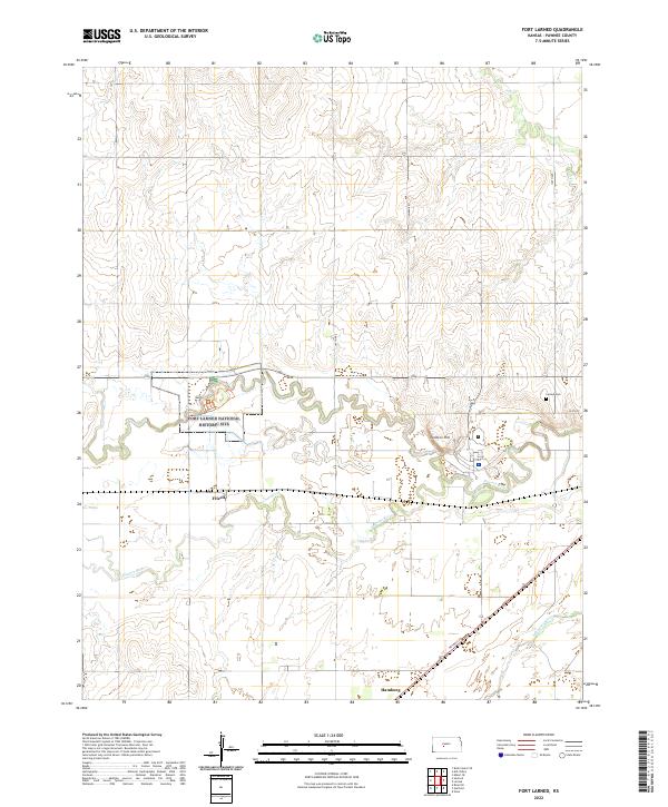
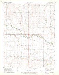
The Fort Larned National Historic Site anchors this portion of Pawnee County, preserving the grounds of a mid-19th-century military post established to protect travelers on the Santa Fe Trail. The Pawnee River meanders sharply through the center of the sheet, creating a fertile valley where the small settlements of Frizell and Hamburg are located. This terrain is characterized by the transition from the upland prairies near Jenkins Hill to the broad alluvial plain of the Arkansas River in the southeast corner. The grid of rural roads, including Timken Rd and 160th Ave, reflects the systematic agricultural development of the region, while NE Trail St traces a diagonal path that hints at older transportation routes across the Kansas landscape. Genealogists may find interest in the Larned Cem located on the eastern edge of the survey area.
Find a feature on this map
20 named features on this map. Tap any name to fly to it.
Don’t see what you’re looking for? This feature index may not catch every label — zoom into the map to look around manually.
Map Details
Editions of this 2022 Fort Larned Map
This is the sole edition of this map. No revisions or reprints were ever made.
Historical Maps of Hamburg Through Time
20 maps found
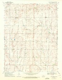
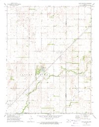
1970 Albert SE
Pawnee County, KS
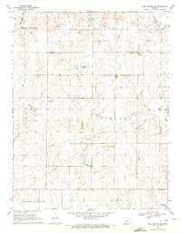
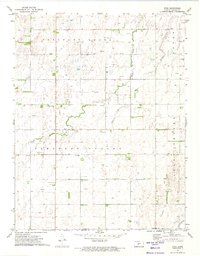
1970 Ash Valley
Pawnee County, KS

1970 Bazine SE
Pawnee County, KS
1970 Fort Larned
Pawnee County, KS
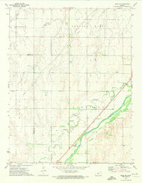
1970 Rush Center SE
Pawnee County, KS
1970 Rush Center SW
Pawnee County, KS
1970 Sanford
Pawnee County, KS
1972 Rozel SE
Pawnee County, KS
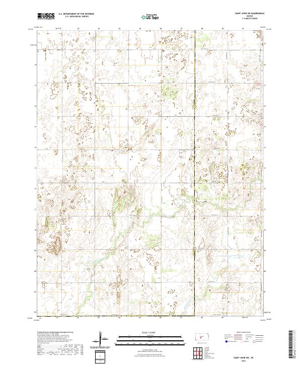
1972 Saint John SW
Pawnee County, KS
1972 Zook
Pawnee County, KS
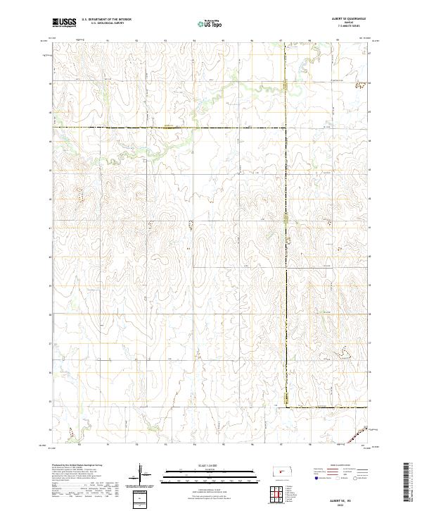
2022 Albert SE
Pawnee County, KS
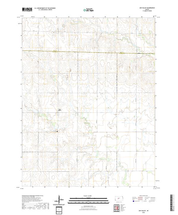
2022 Ash Valley
Pawnee County, KS
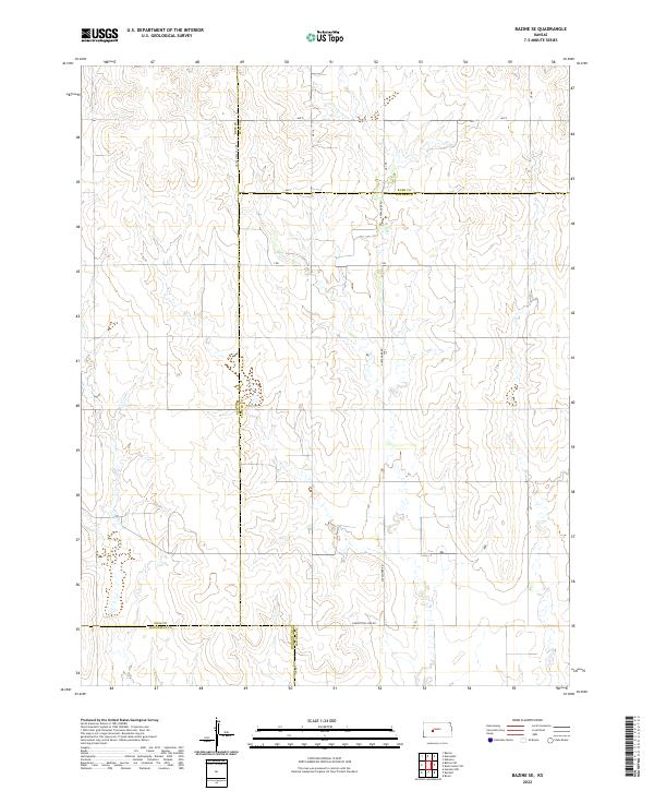
2022 Bazine SE
Pawnee County, KS
2022 Fort Larned
Pawnee County, KS
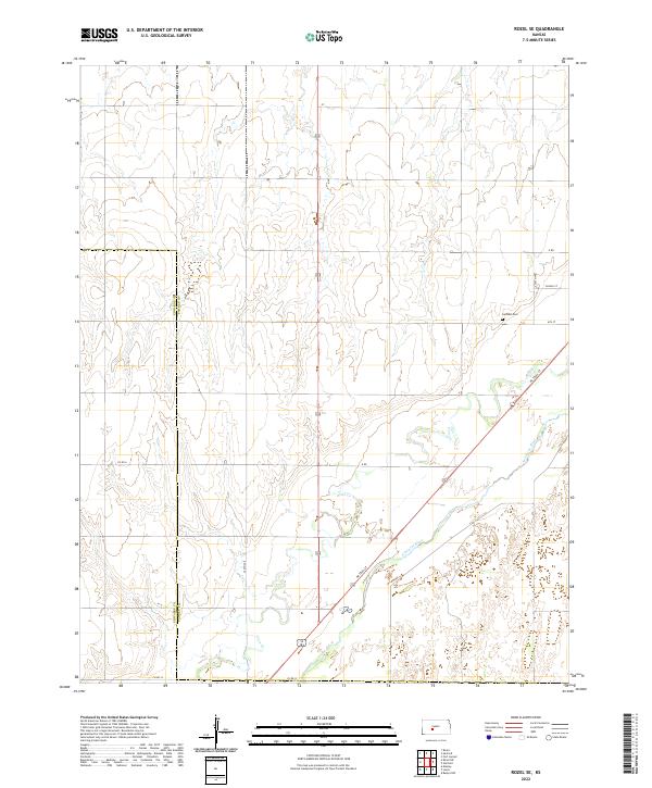
2022 Rozel SE
Pawnee County, KS
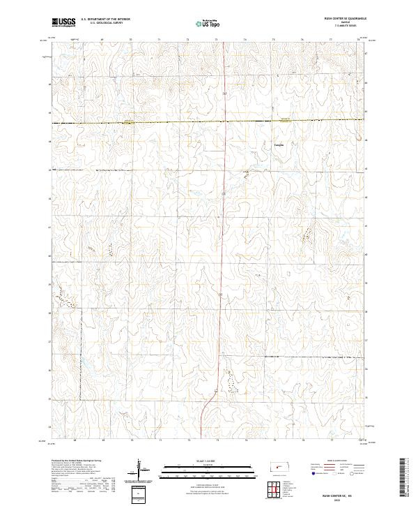
2022 Rush Center SE
Pawnee County, KS
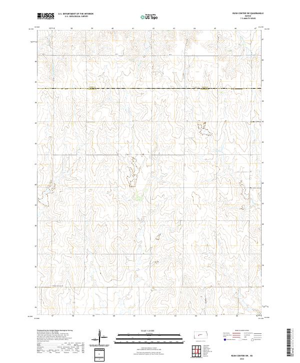
2022 Rush Center SW
Pawnee County, KS
2022 Saint John SW
Pawnee County, KS
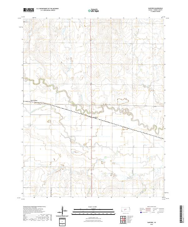
2022 Sanford
Pawnee County, KS
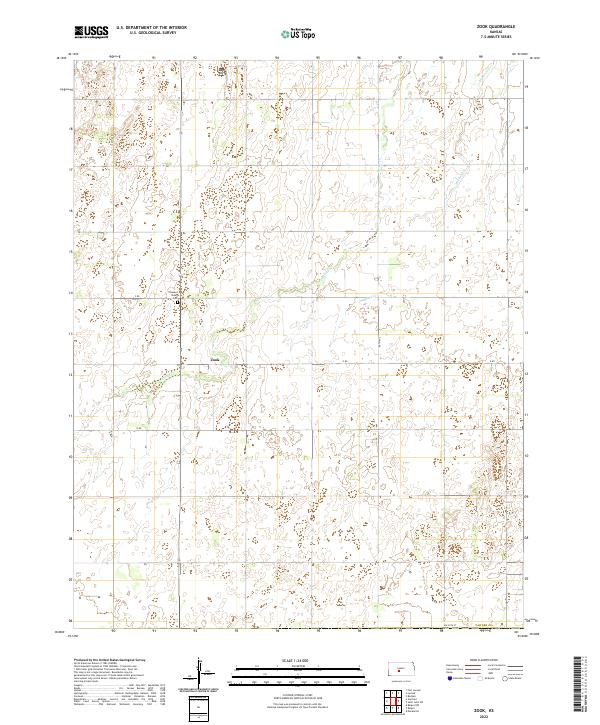
2022 Zook
Pawnee County, KS