
1936 Map of Fort Madison
USGS Topo · Published 1936About this map
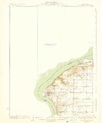
Nauvoo sits prominently on a bend of the Mississippi River, showcasing a detailed grid of streets and blocks in this mid-1930s survey. The landscape of Hancock County, Illinois, is defined by a dense network of rural schoolhouses and small settlements connected by the A T & S F railroad and early state roads like State Hy No 95. This particular edition is notable for its substantial "unsurveyed area" on the Iowa side of the river, while the Illinois shore is meticulously detailed with topography and drainage.
Find a feature on this map
28 named features on this map. Tap any name to fly to it.
Don’t see what you’re looking for? This feature index may not catch every label — zoom into the map to look around manually.
Map Details
Editions of this 1936 Fort Madison Map
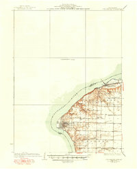
3 editions found
Other maps of this area

1903 · Kahoka
USGS Topo · 1:125,000

1932 · Lomax
USGS Topo · 1:62,500

1933 · Carthage
USGS Topo · 1:62,500

1934 · Burlington
USGS Topo · 1:48,000

1936 · Keokuk
USGS Topo · 1:62,500

1937 · Carthage
USGS Topo · 1:62,500

1937 · Lomax
USGS Topo · 1:62,500

1940 · Burlington
USGS Topo · 1:62,500

1949 · Wayland
USGS Topo · 1:24,000

1950 · Wayland
USGS Topo · 1:24,000