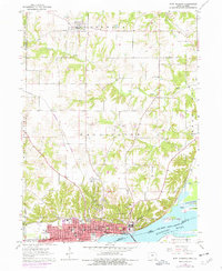
1964 Map of Fort Madison
USGS Topo · Published 1977About this map
Fort Madison occupies a prominent position along the northern bank of the Mississippi River, its urban grid bounded by the Burlington Northern rail line and the sprawling complex of the State Penitentiary. The mid-1960s landscape shows the city's upward growth toward the Fort Madison Municipal Airport, with newer developments expanding near Ivanhoe Park and Richardson Sch. In the northern uplands, the rural character remains centered on the settlement of Denmark and family-named landmarks like Riddles Airstrip.
Find a feature on this map
55 named features on this map. Tap any name to fly to it.
Don’t see what you’re looking for? This feature index may not catch every label — zoom into the map to look around manually.
Map Details
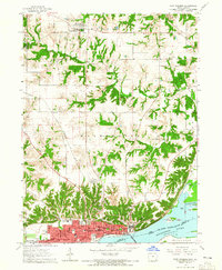
Editions of this 1964 Fort Madison Map
2 editions found
Other maps of this area

1932 · Lomax
USGS Topo · 1:62,500

1934 · Burlington
USGS Topo · 1:48,000

1936 · Fort Madison
USGS Topo · 1:62,500

1937 · Lomax
USGS Topo · 1:62,500

1940 · Burlington
USGS Topo · 1:62,500

1958 · Burlington
USGS Topo · 1:250,000

1961 · Burlington
USGS Topo · 1:250,000

1963 · Burlington
USGS Topo · 1:250,000
1964 · Nauvoo
USGS Topo · 1:24,000

1964 · West Point
USGS Topo · 1:24,000