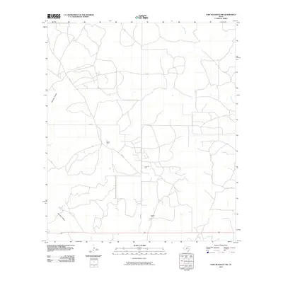
2010 Map of Fort McKavett NW
USGS Topo · Published 2010About this map
Martin Ranch and Webster Ranch anchor this West Texas landscape in Schleicher County, illustrating the enduring cattle-ranching culture of the Edward's Plateau. The terrain is defined by drainage patterns like East Poor Hollow and the seasonal waters of Rocky Creek, while the presence of the Kamar Oil Field highlights the region's dual-economic reliance on both the surface and the mineral rights below. A sparse network of ranch roads, most notably Rudd Rd, provides the primary access through this open country, where property boundaries and large-scale land holdings remain central to the local geography. This 2010 survey reflects a period of modern ranching and energy extraction in a territory where water sources and family-named landmarks are the primary orientation points.
Find a feature on this map
6 named features on this map. Tap any name to fly to it.
Don’t see what you’re looking for? This feature index may not catch every label — zoom into the map to look around manually.
Map Details
Editions of this 2010 Fort McKavett NW Map
This is the sole edition of this map. No revisions or reprints were ever made.
Other maps of this area

1892 · San Angelo
USGS Topo · 1:125,000

1893 · Fort McKavett
USGS Topo · 1:125,000

1954 · Sonora
USGS Topo · 1:250,000

1954 · San Angelo
USGS Topo · 1:250,000

1958 · Sonora
USGS Topo · 1:250,000

1958 · San Angelo
USGS Topo · 1:250,000

1963 · Adams
USGS Topo · 1:24,000

1963 · Adams SE
USGS Topo · 1:24,000

1965 · San Angelo
USGS Topo · 1:250,000

1970 · Rocking Chair Ranch
USGS Topo · 1:24,000