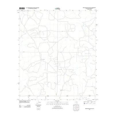
2012 Map of Fort McKavett NW
USGS Topo · Published 2012About this map
Martin Ranch and Webster Ranch anchor this landscape in Schleicher County, showing a classic West Texas pattern of large-scale ranching interests and industrial extraction. The terrain is defined by a network of ranch roads and specialized paths like Rudd Rd, which facilitate movement between these expansive holdings. The presence of the Kamar Oil Field near the center of the sheet highlights the dual-use nature of the land, where traditional cattle ranching coexists with the energy industry. Drainage is sparse across the high plateau, with the ephemeral Rocky Cr appearing in the northeast. This 2012 survey provides a detailed look at the rural infrastructure of the Edwards Plateau region, documenting the specific ranch boundaries and access points that define the local economy and geography.
Find a feature on this map
6 named features on this map. Tap any name to fly to it.
Don’t see what you’re looking for? This feature index may not catch every label — zoom into the map to look around manually.
Map Details
Editions of this 2012 Fort McKavett NW Map
This is the sole edition of this map. No revisions or reprints were ever made.
Other maps of this area

1892 · San Angelo
USGS Topo · 1:125,000

1893 · Fort McKavett
USGS Topo · 1:125,000

1954 · Sonora
USGS Topo · 1:250,000

1954 · San Angelo
USGS Topo · 1:250,000

1958 · Sonora
USGS Topo · 1:250,000

1958 · San Angelo
USGS Topo · 1:250,000

1963 · Adams
USGS Topo · 1:24,000

1963 · Adams SE
USGS Topo · 1:24,000

1965 · San Angelo
USGS Topo · 1:250,000

1970 · Rocking Chair Ranch
USGS Topo · 1:24,000