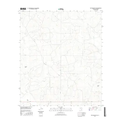
2016 Map of Fort McKavett NW
USGS Topo · Published 2016About this map
Schleicher County ranchland and seasonal drainage patterns characterize this 2016 survey of the Edwards Plateau. The landscape is defined by its subtle topographic shifts, including the depressions of East Poor Hollow and Poor Hollow in the southwest and Milligan Draw toward the southeast. These geographic features, along with Rocky Cr, represent the crucial water-catchment network essential for agricultural and livestock operations in this arid region of Texas. A modest grid of county roads provides the primary access to these remote parcels, with Rudd Rd and Co Rd 339 cutting through the open range. The map illustrates a contemporary view of rural land management, where traditional ranching boundaries are maintained by a sparse but vital network of improved and unimproved roads.
Find a feature on this map
8 named features on this map. Tap any name to fly to it.
Don’t see what you’re looking for? This feature index may not catch every label — zoom into the map to look around manually.
Map Details
Editions of this 2016 Fort McKavett NW Map
This is the sole edition of this map. No revisions or reprints were ever made.
Other maps of this area

1892 · San Angelo
USGS Topo · 1:125,000

1893 · Fort McKavett
USGS Topo · 1:125,000

1954 · Sonora
USGS Topo · 1:250,000

1954 · San Angelo
USGS Topo · 1:250,000

1958 · Sonora
USGS Topo · 1:250,000

1958 · San Angelo
USGS Topo · 1:250,000

1963 · Adams
USGS Topo · 1:24,000

1963 · Adams SE
USGS Topo · 1:24,000

1965 · San Angelo
USGS Topo · 1:250,000

1970 · Rocking Chair Ranch
USGS Topo · 1:24,000