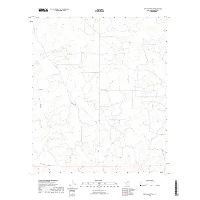
2019 Map of Fort McKavett NW
USGS Topo · Published 2019About this map
East Poor Hollow and the broader drainage of Poor Hollow define the undulating geography of this section of Schleicher County in the late 2010s. The landscape is characterized by its intermittent watercourses and expansive ranching tracts, where Rocky Cr and Milligan Draw carve subtle paths through the terrain. Human imprint on this corner of the Edwards Plateau is primarily reflected in the network of rural corridors such as Rudd Rd and various county routes like Co Rd 339 and Co Rd 350. These roads represent the essential connectivity of the region's agricultural and ranching economy, linking isolated homesteads and grazing lands. The lack of dense settlement emphasizes the open, working nature of the West Texas countryside during this period of the early twenty-first century.
Find a feature on this map
8 named features on this map. Tap any name to fly to it.
Don’t see what you’re looking for? This feature index may not catch every label — zoom into the map to look around manually.
Map Details
Editions of this 2019 Fort McKavett NW Map
This is the sole edition of this map. No revisions or reprints were ever made.
Other maps of this area

1892 · San Angelo
USGS Topo · 1:125,000

1893 · Fort McKavett
USGS Topo · 1:125,000

1954 · Sonora
USGS Topo · 1:250,000

1954 · San Angelo
USGS Topo · 1:250,000

1958 · Sonora
USGS Topo · 1:250,000

1958 · San Angelo
USGS Topo · 1:250,000

1963 · Adams
USGS Topo · 1:24,000

1963 · Adams SE
USGS Topo · 1:24,000

1965 · San Angelo
USGS Topo · 1:250,000

1970 · Rocking Chair Ranch
USGS Topo · 1:24,000