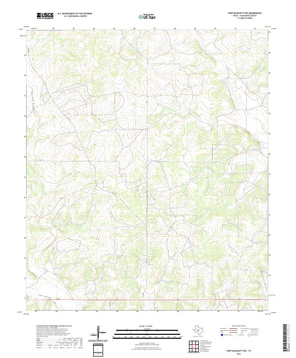
2022 Map of Fort McKavett NW
USGS Topo · Published 2022About this map
Rocky Cr drains the northeastern corner of this West Texas landscape, an area defined by deep draws and intermittent watercourses typical of the Edwards Plateau. The terrain is marked by significant topographical features such as East Poor Hollow and Poor Hollow, which cut through the southern and western portions of the quadrangle. In the southeast, Milligan Draw provides a natural corridor through the limestone-inflected geography. The human footprint here is light, characterized by a sparse network of rural routes including Rudd Rd and several county roads like Co Rd 350. This 2022 survey documents a contemporary view of the ranching country north of the San Saba River headwaters, where land use remains centered on large-scale pastoral activity and natural drainage patterns.
Find a feature on this map
8 named features on this map. Tap any name to fly to it.
Don’t see what you’re looking for? This feature index may not catch every label — zoom into the map to look around manually.
Map Details
Editions of this 2022 Fort McKavett NW Map
This is the sole edition of this map. No revisions or reprints were ever made.
Other maps of this area

1892 · San Angelo
USGS Topo · 1:125,000

1893 · Fort McKavett
USGS Topo · 1:125,000

1954 · Sonora
USGS Topo · 1:250,000

1954 · San Angelo
USGS Topo · 1:250,000

1958 · Sonora
USGS Topo · 1:250,000

1958 · San Angelo
USGS Topo · 1:250,000

1963 · Adams
USGS Topo · 1:24,000

1963 · Adams SE
USGS Topo · 1:24,000

1965 · San Angelo
USGS Topo · 1:250,000

1970 · Rocking Chair Ranch
USGS Topo · 1:24,000