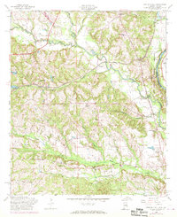
1955 Map of Fort Mitchell
USGS Topo · Published 1970About this map
Uchee Creek flows eastward through a landscape of rural schoolhouses and small settlements as they appeared in the mid-1950s. The area is defined by its educational and spiritual centers, such as Uchee Valley Sch, Macedonia Sch, and Providence Ch, which served the farming communities of Nuckols and Oswichee. This survey captures the transition from traditional land use to increased federal activity, with the Fort Benning Military Reservation occupying the eastern boundary along the Chattahoochee River.
Find a feature on this map
35 named features on this map. Tap any name to fly to it.
Don’t see what you’re looking for? This feature index may not catch every label — zoom into the map to look around manually.
Map Details
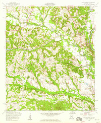
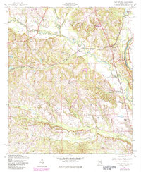
Editions of this 1955 Fort Mitchell Map
3 editions found
Other maps of this area

1908 · Columbus
USGS Topo · 1:62,500

1914 · Seale
USGS Topo · 1:62,500

1929 · Columbus
USGS Topo · 1:48,000

1947 · Columbus
USGS Topo · 1:62,500

1949 · Fort Mitchell
USGS Topo · 1:24,000

1949 · Julia
USGS Topo · 1:24,000

1949 · Columbus
USGS Topo · 1:24,000

1950 · Fort Benning
USGS Topo · 1:24,000

1950 · Crawford
USGS Topo · 1:24,000

1950 · Seale
USGS Topo · 1:24,000