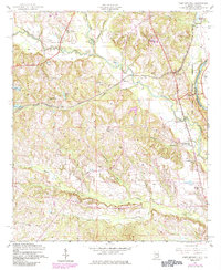
1955 Map of Fort Mitchell
USGS Topo · Published 1984About this map
The Fort Benning Military Reservation dominates the eastern landscape along the Chattahoochee River in this mid-century survey of Russell County. The region’s rural character is defined by a network of local schools and churches, including Macedonia Sch and Providence Ch, which served the scattered agricultural communities. The Central of Georgia rail line cuts through the center of the quadrangle, passing near the settlement of Fort Mitchell, a location of significant military and pioneer heritage. To the south, Oswichee and its namesake Oswichee Cem mark an established community node. The drainage patterns of Uchee Creek and Little Uchee Creek create a complex topography of ridges and bottoms, such as the aptly named Sandbottom area, illustrating the relationship between the river system and local land use.
Find a feature on this map
33 named features on this map. Tap any name to fly to it.
Don’t see what you’re looking for? This feature index may not catch every label — zoom into the map to look around manually.
Map Details
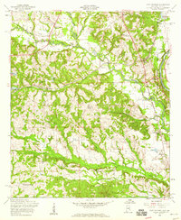
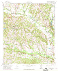
Editions of this 1955 Fort Mitchell Map
3 editions found
Other maps of this area

1908 · Columbus
USGS Topo · 1:62,500

1914 · Seale
USGS Topo · 1:62,500

1929 · Columbus
USGS Topo · 1:48,000

1947 · Columbus
USGS Topo · 1:62,500

1949 · Fort Mitchell
USGS Topo · 1:24,000

1949 · Julia
USGS Topo · 1:24,000

1949 · Columbus
USGS Topo · 1:24,000

1950 · Fort Benning
USGS Topo · 1:24,000

1950 · Crawford
USGS Topo · 1:24,000

1950 · Seale
USGS Topo · 1:24,000