
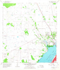
1958 Map of Fort Myers NW
USGS Topo · Published 1959About this map
North Fort Myers and the northern reaches of Fort Myers are the primary focus of this late-1950s survey, detailing the early suburban sprawl and industrial footprint along the Caloosahatchee River. The map documents a landscape heavily influenced by water management, featuring an extensive network of Flowing Wells and the Gator Slough Canal that drain the inland flats. Within the town sections, local civic life is visible through landmarks like the English Sch and the Edison Park Sch, while the presence of a State Prison Camp and a Drive-in Theater reflect the diverse land use of the era.
Find a feature on this map
19 named features on this map. Tap any name to fly to it.
Don’t see what you’re looking for? This feature index may not catch every label — zoom into the map to look around manually.
Map Details
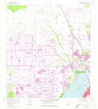
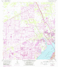
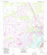
Editions of this 1958 Fort Myers NW Map
5 editions found
Other maps of this area

1956 · Punta Gorda SE
USGS Topo · 1:24,000

1956 · West Palm Beach
USGS Topo · 1:250,000

1956 · Tampa
USGS Topo · 1:250,000

1956 · Charlotte Harbor
USGS Topo · 1:250,000

1957 · West Palm Beach
USGS Topo · 1:250,000

1957 · Tuckers Corner
USGS Topo · 1:24,000

1957 · Gilchrist
USGS Topo · 1:24,000

1958 · West Palm Beach
USGS Topo · 1:250,000

1958 · Matlacha
USGS Topo · 1:24,000

1958 · Fort Myers SW
USGS Topo · 1:24,000
Featured Places
- Cape Coral, FL
- Fort Myers, FL
- North Fort Myers, FL
- Del Tura Golf & Country Club, FL
- Fountain View Park, FL