
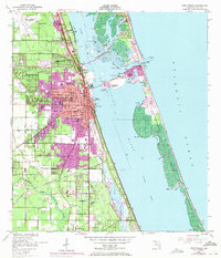
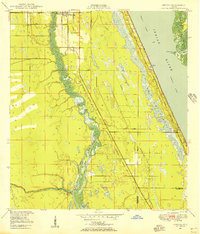
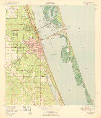
1949 Map of Fort Pierce
USGS Topo · Published 1984About this map
Fort Pierce and the surrounding Treasure Coast landscape are captured here in a period of significant post-war transition. The map details the intricate waterways of the Indian River Aquatic Preserve and the Jensen Beach to Jupiter Inlet Aquatic Preserve, showing the natural complexity of islands like Jack Island and Hutchinson Island before extensive modern development. Inland, the established citrus and agricultural roots of the region are evident near White City and Sunland Gardens, while the Florida East Coast railway serves as the backbone for transport along the coast.
Find a feature on this map
52 named features on this map. Tap any name to fly to it.
Don’t see what you’re looking for? This feature index may not catch every label — zoom into the map to look around manually.
Map Details
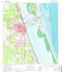
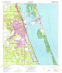
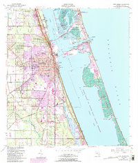
Editions of this 1949 Fort Pierce Map
6 editions found
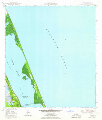
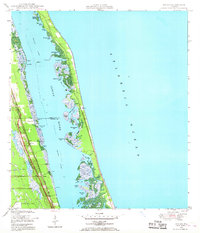
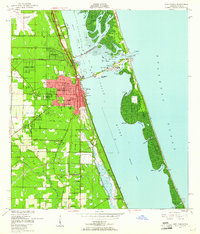
Other maps of this area
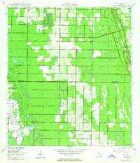
1948 · Ankona
USGS Topo · 1:24,000
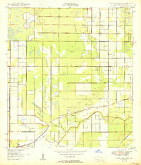
1948 · Eden
USGS Topo · 1:24,000
1948 · Indrio
USGS Topo · 1:24,000
1949 · Fort Pierce
USGS Topo · 1:24,000
1949 · Oslo
USGS Topo · 1:24,000

1949 · Fort Pierce NW
USGS Topo · 1:24,000

1950 · Ankona
USGS Topo · 1:24,000
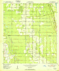
1950 · Fort Pierce
USGS Topo · 1:24,000
1950 · Fort Pierce NW
USGS Topo · 1:24,000
1950 · Oslo
USGS Topo · 1:24,000