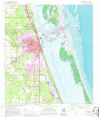
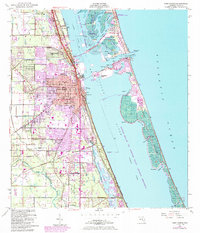
1949 Map of Fort Pierce
USGS Topo · Published 1975About this map
Fort Pierce and the surrounding Treasure Coast landscape are centered around the vital intersection of the Indian River and the Atlantic Ocean. This mid-century survey illustrates the era's coastal development, from the industrial White City Station along the Florida East Coast railway to the recreational expansion across the North Beach Causeway. The map reveals a complex network of waterways including Ft Pierce Inlet and Tucker Cove, while land-based features like the St Lucie County Airport and Sunland Gardens show the town growing beyond its maritime roots. Genealogists may find value in the location of the White City Cem and various St Lucie Co Schools serving the community during this period of post-war transition, as the city's urban footprint expands toward Paradise Park.
Find a feature on this map
60 named features on this map. Tap any name to fly to it.
Don’t see what you’re looking for? This feature index may not catch every label — zoom into the map to look around manually.
Map Details
Editions of this 1949 Fort Pierce Map
6 editions found
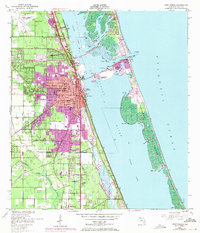
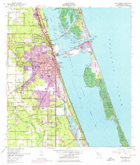
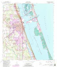
Other maps of this area

1948 · Ankona
USGS Topo · 1:24,000

1948 · Eden
USGS Topo · 1:24,000

1948 · Indrio
USGS Topo · 1:24,000

1949 · Fort Pierce
USGS Topo · 1:24,000

1949 · Oslo
USGS Topo · 1:24,000

1949 · Fort Pierce NW
USGS Topo · 1:24,000

1950 · Ankona
USGS Topo · 1:24,000

1950 · Fort Pierce
USGS Topo · 1:24,000

1950 · Fort Pierce NW
USGS Topo · 1:24,000

1950 · Oslo
USGS Topo · 1:24,000