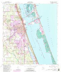
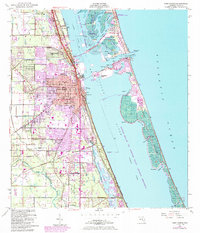
1949 Map of Fort Pierce
USGS Topo · Published 1984About this map
Fort Pierce and the surrounding Treasure Coast landscape are captured here during a period of postwar expansion and coastal development. The urban core is detailed alongside established residential areas like Sunland Gardens and Paradise Park, while the southern reaches of the quadrangle feature the settlement of White City, including the White City Cem and the White City Station. The importance of transportation and infrastructure is evident in the presence of the St Lucie County International Airport, the corridor of the Florida East Coast railway, and the network of canals like the Belcher Canal.
Find a feature on this map
60 named features on this map. Tap any name to fly to it.
Don’t see what you’re looking for? This feature index may not catch every label — zoom into the map to look around manually.
Map Details
Editions of this 1949 Fort Pierce Map
6 editions found
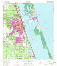
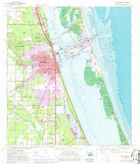
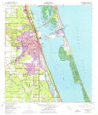
Other maps of this area

1948 · Ankona
USGS Topo · 1:24,000

1948 · Eden
USGS Topo · 1:24,000

1948 · Indrio
USGS Topo · 1:24,000

1949 · Fort Pierce
USGS Topo · 1:24,000

1949 · Oslo
USGS Topo · 1:24,000

1949 · Fort Pierce NW
USGS Topo · 1:24,000

1950 · Ankona
USGS Topo · 1:24,000

1950 · Fort Pierce
USGS Topo · 1:24,000

1950 · Fort Pierce NW
USGS Topo · 1:24,000

1950 · Oslo
USGS Topo · 1:24,000