
1953 Map of Fort Pierce SW
USGS Topo · Published 1955About this map
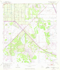
Hydrological engineering and agricultural development dominate this 1950s landscape southwest of Fort Pierce. The Header Canal and Rim Ditch serve as primary arteries for water management, cutting through a terrain defined by extensive Levee systems and numerous Spoil Bank formations. These features suggest a period of intensive land reclamation and drainage efforts typical of Florida's mid-century expansion into the wetlands. Scattered throughout the quadrangle are several Flowing Wells, indicating the reliance on artesian water sources for the emerging agricultural plots and citrus groves visible in the gridded patterns. The Florida East Coast railroad provides the essential transportation link through this developing interior, connecting the remote drainage districts to the coastal markets. This era of surveying by the U.S. Corps of Engineers and USGS captures the transition of the Florida interior from wild marsh to a structured, managed environment.
Find a feature on this map
7 named features on this map. Tap any name to fly to it.
Don’t see what you’re looking for? This feature index may not catch every label — zoom into the map to look around manually.
Map Details
Editions of this 1953 Fort Pierce SW Map
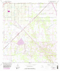
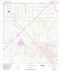
4 editions found
Other maps of this area

1948 · Palm City
USGS Topo · 1:24,000

1948 · Ankona
USGS Topo · 1:24,000

1949 · Fort Pierce
USGS Topo · 1:24,000

1949 · Fort Pierce NW
USGS Topo · 1:24,000

1950 · Ankona
USGS Topo · 1:24,000

1950 · Fort Pierce
USGS Topo · 1:24,000

1950 · Palm City
USGS Topo · 1:24,000

1950 · Fort Pierce NW
USGS Topo · 1:24,000

1953 · Okeechobee 1 SE
USGS Topo · 1:24,000

1953 · Okeechobee 4 NE
USGS Topo · 1:24,000