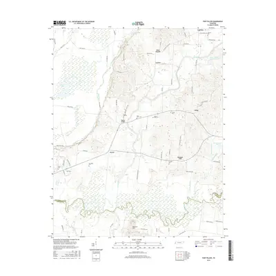
2016 Map of Fort Pillow
USGS Topo · Published 2016About this map
The Hatchie River meanders along the southern border of this Lauderdale and Tipton County landscape, where the flat river bottom gives way to the higher bluffs near Fort Pillow. This area is defined by its small, scattered communities like Cherry, Lightfoot, and Three Point, each connected by a network of rural roads such as Jack Rabbit Rd and Polly Walker Rd. The presence of numerous burial grounds, including New Hope Cem, Elcanaan Cem, and Pilgrims Rest Cem, suggests a long-established rural population with deep family ties to the land.
Find a feature on this map
72 named features on this map. Tap any name to fly to it.
Don’t see what you’re looking for? This feature index may not catch every label — zoom into the map to look around manually.
Map Details
Editions of this 2016 Fort Pillow Map
This is the sole edition of this map. No revisions or reprints were ever made.
Other maps of this area

1939 · Hales Point
USGS Topo · 1:62,500

1939 · Blytheville
USGS Topo · 1:62,500

1952 · Hales Point
USGS Topo · 1:62,500

1955 · Blytheville
USGS Topo · 1:62,500

1956 · Blytheville
USGS Topo · 1:250,000

1959 · Blytheville
USGS Topo · 1:250,000

1961 · Hales Point
USGS Topo · 1:62,500

1961 · Rialto
USGS Topo · 1:62,500

1962 · Rialto
USGS Topo · 1:62,500

1962 · Hales Point
USGS Topo · 1:62,500