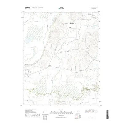
2019 Map of Fort Pillow
USGS Topo · Published 2019About this map
Cherry and Pleasant Hill sit within a landscape defined by the winding course of the Hatchie River and its associated bottomlands. The terrain transition is marked by Millstone Mtn, which rises above the wetlands of the Lauderdale Co and Tipton Co border. This area is notably dense with small family and community burial grounds, including Lightfoot Cem, Canaan Cem, and Pilgrims Rest Cem, which are often located near local settlements like Three Point and Lightfoot.
Find a feature on this map
70 named features on this map. Tap any name to fly to it.
Don’t see what you’re looking for? This feature index may not catch every label — zoom into the map to look around manually.
Map Details
Editions of this 2019 Fort Pillow Map
This is the sole edition of this map. No revisions or reprints were ever made.
Other maps of this area

1939 · Hales Point
USGS Topo · 1:62,500

1939 · Blytheville
USGS Topo · 1:62,500

1952 · Hales Point
USGS Topo · 1:62,500

1955 · Blytheville
USGS Topo · 1:62,500

1956 · Blytheville
USGS Topo · 1:250,000

1959 · Blytheville
USGS Topo · 1:250,000

1961 · Hales Point
USGS Topo · 1:62,500

1961 · Rialto
USGS Topo · 1:62,500

1962 · Rialto
USGS Topo · 1:62,500

1962 · Hales Point
USGS Topo · 1:62,500