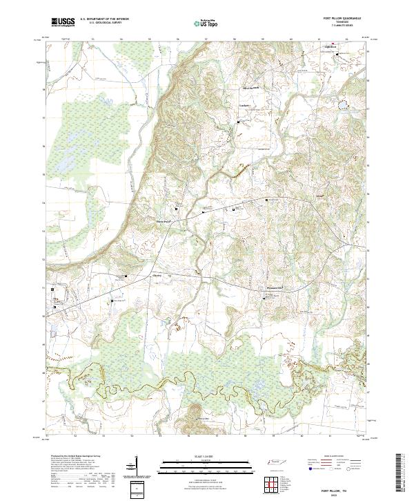
2022 Map of Fort Pillow
USGS Topo · Published 2022About this map
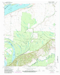
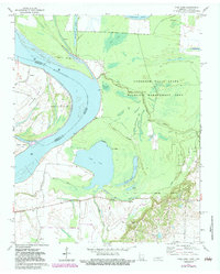
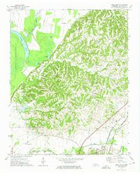
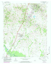
The Hatchie River meanders across the southern landscape of this West Tennessee quadrangle, forming the meandering natural border between Lauderdale Co and Tipton Co. This area is characterized by a high density of rural cemeteries and country churches that speak to the deep-seated settlement patterns of the region. From Lightfoot in the north down to Cherry and Pleasant Hill, these small communities are connected by a network of local roads such as Chisholm McFarland Rd and Lightfoot Luckett Rd. The topography shifts from the wetlands of Sunk Lake and Bee Lake in the west toward the lone rise of Millstone Mtn near the riverbanks. Researchers can trace the proximity of congregations and their burial grounds, such as the El Canaan Missionary Baptist Church and its associated Cem, which remain focal points for local family history.
Find a feature on this map
75 named features on this map. Tap any name to fly to it.
Don’t see what you’re looking for? This feature index may not catch every label — zoom into the map to look around manually.
Map Details
Editions of this 2022 Fort Pillow Map
This is the sole edition of this map. No revisions or reprints were ever made.
Historical Maps of Three Point Through Time
13 maps found
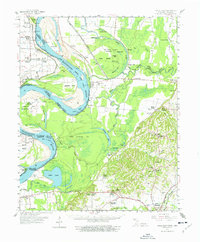
1961 Hales Point
Lauderdale County, TN
1962 Hales Point
Lauderdale County, TN
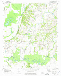
1972 Fort Pillow
Lauderdale County, TN
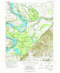
1972 Golddust
Lauderdale County, TN
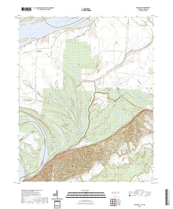
1972 Open Lake
Lauderdale County, TN
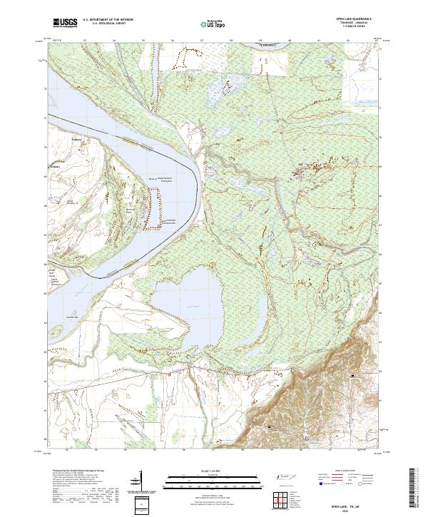
1972 Ripley North
Lauderdale County, TN
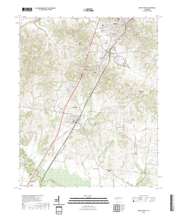
1972 Ripley South
Lauderdale County, TN
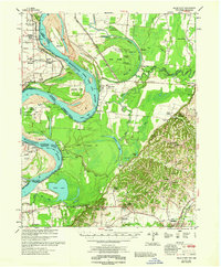
1977 Hales Point
Lauderdale County, TN
2022 Fort Pillow
Lauderdale County, TN
2022 Golddust
Lauderdale County, TN
2022 Open Lake
Lauderdale County, TN
2022 Ripley North
Lauderdale County, TN
2022 Ripley South
Lauderdale County, TN