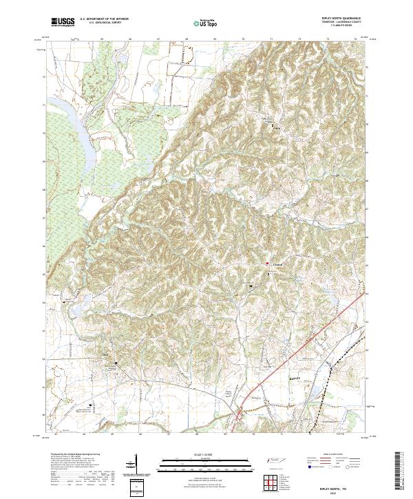
2022 Map of Ripley North
USGS Topo · Published 2022About this map
Ripley and the rural communities of Lauderdale County are defined by a complex network of waterways and ridges that shape the local geography. To the northwest, the terrain transitions into a series of distinctive wetland features including Long Pond, Jennings Pond, and Gum Pond, which are tucked behind Brushy Ridge. These lowlands contrast with the more dissected hills where family-named roads like Lizzie Neighbours Rd and Gus Hargett Rd connect scattered residences and agricultural tracts.
Find a feature on this map
94 named features on this map. Tap any name to fly to it.
Don’t see what you’re looking for? This feature index may not catch every label — zoom into the map to look around manually.
Map Details
Editions of this 2022 Ripley North Map
This is the sole edition of this map. No revisions or reprints were ever made.
Other maps of this area

1939 · Hales Point
USGS Topo · 1:62,500

1939 · Halls
USGS Topo · 1:62,500

1952 · Hales Point
USGS Topo · 1:62,500

1952 · Gates
USGS Topo · 1:24,000

1952 · Fowlkes
USGS Topo · 1:24,000

1956 · Blytheville
USGS Topo · 1:250,000

1959 · Blytheville
USGS Topo · 1:250,000

1961 · Hales Point
USGS Topo · 1:62,500

1961 · Rialto
USGS Topo · 1:62,500

1961 · Halls
USGS Topo · 1:62,500