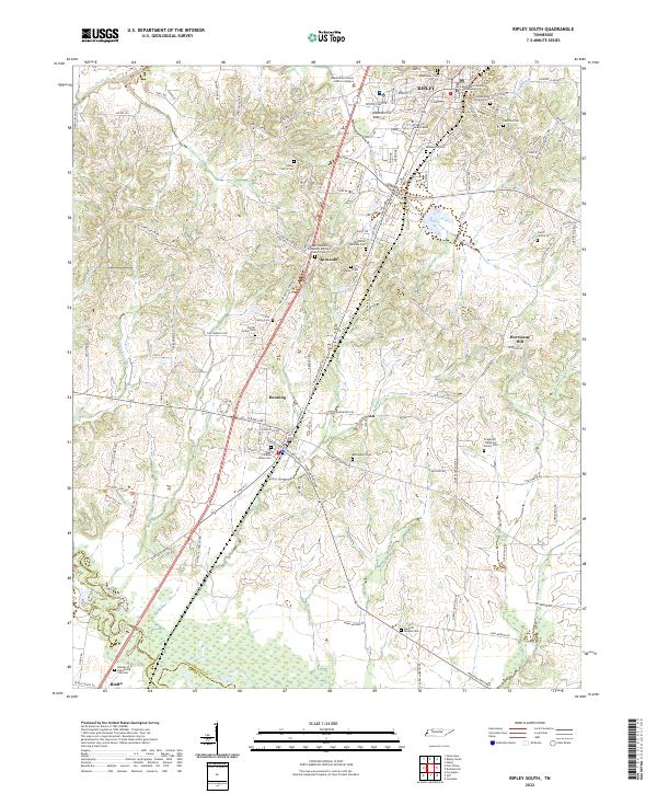
2022 Map of Ripley South
USGS Topo · Published 2022About this map
The town of Henning serves as a cultural anchor in this portion of Lauderdale County, famously home to the Alex Haley Grave Site. The landscape transitions from the developed streets of southern Ripley, where the Lauderdale County Courthouse and UT Martin Ripley Center are located, down through the smaller communities of Opossum and Rialto. The Canadian National railroad corridor runs north-to-south, paralleling the main highway and dictating the historic placement of these settlements.
Find a feature on this map
126 named features on this map. Tap any name to fly to it.
Don’t see what you’re looking for? This feature index may not catch every label — zoom into the map to look around manually.
Map Details
Editions of this 2022 Ripley South Map
This is the sole edition of this map. No revisions or reprints were ever made.
Other maps of this area

1939 · Hales Point
USGS Topo · 1:62,500

1939 · Halls
USGS Topo · 1:62,500

1952 · Hales Point
USGS Topo · 1:62,500

1952 · Gates
USGS Topo · 1:24,000

1956 · Blytheville
USGS Topo · 1:250,000

1959 · Blytheville
USGS Topo · 1:250,000

1961 · Hales Point
USGS Topo · 1:62,500

1961 · Rialto
USGS Topo · 1:62,500

1961 · Halls
USGS Topo · 1:62,500

1962 · Rialto
USGS Topo · 1:62,500