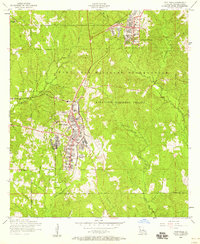
1954 Map of Fort Polk
USGS Topo · Published 1958About this map
Fort Polk and the surrounding Kisatchie National Forest characterize this mid-century survey of Vernon Parish. The installation shows significant post-war infrastructure, including an Airfield, Golf course, and localized housing sectors like North Fort Polk. For genealogists, the map preserves the locations of several numbered burial grounds and family-named landmarks such as Smart Chapel Cemetery and 2 In Hill Cemetery.
Find a feature on this map
32 named features on this map. Tap any name to fly to it.
Don’t see what you’re looking for? This feature index may not catch every label — zoom into the map to look around manually.
Map Details
Editions of this 1954 Fort Polk Map
2 editions found
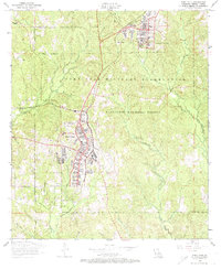
Other maps of this area

1941 · Leesville
USGS Topo · 1:62,500

1941 · Slagle
USGS Topo · 1:62,500

1943 · Leesville
USGS Topo · 1:62,500

1944 · Slagle
USGS Topo · 1:62,500

1946 · Leesville
USGS Topo · 1:62,500

1947 · Rosepine
USGS Topo · 1:31,680

1947 · Chasmore
USGS Topo · 1:31,680

1947 · Sugrue
USGS Topo · 1:31,680

1948 · Leesville
USGS Topo · 1:62,500

1952 · Lake Charles
USGS Topo · 1:250,000
Featured Places
- Fort Polk, Fort Johnson South
- Sandy Hill, LA
- North Fort Polk, LA
- Fort Johnson South, LA
- Vernon Parish, LA