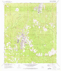
1974 Map of Fort Polk
USGS Topo · Published 1975About this map
Fort Polk Military Reservation dominates this 1974 landscape in Vernon Parish, showing a dense network of military infrastructure integrated with the natural geography of the Kisatchie National Forest. The map documents the sprawling facilities of Fort Polk and North Fort Polk, including the Fort Polk Army Airfield and numerous range towers such as Forsythe Tower and Beauregard Tower. Despite the heavy military footprint, the survey preserves several markers of earlier settlement, including Smart Cem and Zion Hill Cem, along with the Pine Island Ch. The southern border follows a clear Base Line, while the western edge is defined by the Kansas City Southern railroad. Local drainage is defined by numerous waterways like Whisky Chitto Creek and Zourie Bayou, which cut through the forested terrain near landmarks like Deane Hill.
Find a feature on this map
64 named features on this map. Tap any name to fly to it.
Don’t see what you’re looking for? This feature index may not catch every label — zoom into the map to look around manually.
Map Details
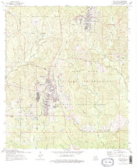
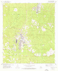
Editions of this 1974 Fort Polk Map
3 editions found
Other maps of this area

1941 · Leesville
USGS Topo · 1:62,500

1941 · Slagle
USGS Topo · 1:62,500

1943 · Leesville
USGS Topo · 1:62,500

1944 · Slagle
USGS Topo · 1:62,500

1946 · Leesville
USGS Topo · 1:62,500

1947 · Rosepine
USGS Topo · 1:31,680

1947 · Chasmore
USGS Topo · 1:31,680

1947 · Sugrue
USGS Topo · 1:31,680

1948 · Leesville
USGS Topo · 1:62,500

1952 · Lake Charles
USGS Topo · 1:250,000
Featured Places
- Fort Polk, Fort Johnson South
- Sandy Hill, LA
- North Fort Polk, LA
- Fort Johnson South, LA
- Vernon Parish, LA