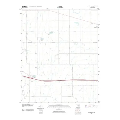
2009 Map of Fort Reno SW
USGS Topo · Published 2009About this map
Calumet serves as the primary settlement on this agricultural landscape, situated in the northeastern corner where the plains meet the water systems of the North Canadian River. The map reveals a highly developed network of water management, evidenced by numerous man-made structures such as the Roy Stokes Dam, Headrick 1 Dam, and J P Wilson Dam. These features, along with reservoirs like Laughlin Lake, reflect the region's reliance on controlled water resources for local farming and land use in the early 21st century.
Find a feature on this map
39 named features on this map. Tap any name to fly to it.
Don’t see what you’re looking for? This feature index may not catch every label — zoom into the map to look around manually.
Map Details
Editions of this 2009 Fort Reno SW Map
This is the sole edition of this map. No revisions or reprints were ever made.
Other maps of this area

1893 · Fort Reno
USGS Topo · 1:62,500

1893 · Buggy Creek
USGS Topo · 1:62,500

1941 · Fort Reno
USGS Topo · 1:62,500

1942 · Fort Reno
USGS Topo · 1:62,500

1942 · Geary
USGS Topo · 1:62,500

1949 · Fort Reno
USGS Topo · 1:62,500

1951 · Binger
USGS Topo · 1:62,500

1955 · Clinton
USGS Topo · 1:250,000

1957 · Clinton
USGS Topo · 1:250,000

1967 · Fort Reno SW
USGS Topo · 1:24,000