
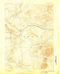
1893 Map of Fort Steele
USGS Topo · Published 1893About this map
The Union Pacific Ry serves as the industrial spine of this territory, following a northern corridor through the high plains of Carbon County. Surveyed by Willard D. Johnson, the topography highlights the strategic importance of the North Platte River and the settlement of Ft Steele, where the rail line crosses the water. Early railroad stops such as Hanna, Dana, and Percy are clearly marked along the tracks, representing the critical coal and transportation hubs of the late 19th-century West. To the south, the landscape is defined by the massive presence of Elk Mt and Sheephead Mt, which overlook the drainages of Pass Creek and Rattlesnake Creek. This 1891 survey documents a transitional era when telegraph lines and steam locomotives linked isolated outposts like Walcott and St Mary to the growing national economy.
Find a feature on this map
17 named features on this map. Tap any name to fly to it.
Don’t see what you’re looking for? This feature index may not catch every label — zoom into the map to look around manually.
Map Details
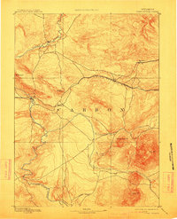
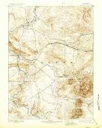
Editions of this 1893 Fort Steele Map
4 editions found
Other maps of this area

1906 · Medicine Bow
USGS Topo · 1:125,000

1908 · Medicine Bow
USGS Topo · 1:125,000

1914 · Hanna
USGS Topo · 1:62,500

1914 · Walcott
USGS Topo · 1:62,500

1914 · Saddleback Hills
USGS Topo · 1:62,500

1921 · Saddleback Hills
USGS Topo · 1:62,500

1932 · Savery
USGS Topo · 1:96,000

1939 · Saratoga
USGS Topo · 1:125,000

1940 · Savery
USGS Topo · 1:125,000

1953 · Wild Horse Mountain
USGS Topo · 1:24,000