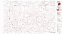
1979 Map of Fort Sumner
USGS Topo · Published 1979About this map
The Pecos River valley forms the centerpiece of this high plains landscape, where the Fort Sumner Main Canal and a series of gaging stations monitor the critical water flow through Fort Sumner. The area is defined by its transit infrastructure, dominated by the Atchison Topeka and Santa Fe railroad corridor which connects small settlements and rail points like Cardenas Siding, La Lande, and Ricardo.
Find a feature on this map
46 named features on this map. Tap any name to fly to it.
Don’t see what you’re looking for? This feature index may not catch every label — zoom into the map to look around manually.
Map Details
Editions of this 1979 Fort Sumner Map
This is the sole edition of this map. No revisions or reprints were ever made.
Other maps of this area
1954 · Fort Sumner
USGS Topo · 1:250,000
1954 · Clovis
USGS Topo · 1:250,000
1954 · Brownfield
USGS Topo · 1:250,000
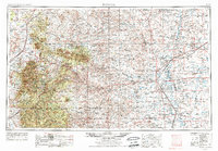
1955 · Roswell
USGS Topo · 1:250,000
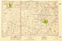
1958 · Brownfield
USGS Topo · 1:250,000
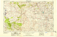
1958 · Fort Sumner
USGS Topo · 1:250,000
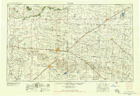
1958 · Clovis
USGS Topo · 1:250,000
1958 · Roswell
USGS Topo · 1:250,000
1962 · Roswell
USGS Topo · 1:250,000
1962 · Brownfield
USGS Topo · 1:250,000