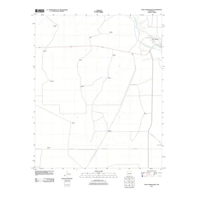
2010 Map of Fort Sumner West
USGS Topo · Published 2010About this map
Fort Sumner sits at the northeastern edge of this landscape, positioned where the Pecos River snakes through the high plains of De Baca County. This 2010 survey reflects a rural environment dominated by livestock operations and critical water infrastructure, evidenced by a dense network of family-named windmills including Martinez Windmill, Goldberg Windmill, and Hudson Windmill. These features indicate a ranching economy where water access dictated the placement of outposts and range improvements.
Find a feature on this map
21 named features on this map. Tap any name to fly to it.
Don’t see what you’re looking for? This feature index may not catch every label — zoom into the map to look around manually.
Map Details
Editions of this 2010 Fort Sumner West Map
This is the sole edition of this map. No revisions or reprints were ever made.
Other maps of this area

1954 · Fort Sumner
USGS Topo · 1:250,000

1958 · Fort Sumner
USGS Topo · 1:250,000

1965 · Fort Sumner West
USGS Topo · 1:24,000

1965 · Windmill Draw
USGS Topo · 1:24,000

1966 · West Camp
USGS Topo · 1:24,000

1966 · Alamo Ranch
USGS Topo · 1:24,000

1966 · Ricardo
USGS Topo · 1:24,000

1966 · Alamogordo Dam
USGS Topo · 1:24,000

1968 · Fort Sumner East
USGS Topo · 1:24,000

1968 · Bonner Lake
USGS Topo · 1:24,000