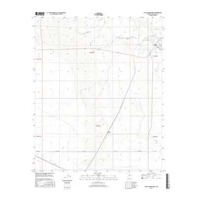
2017 Map of Fort Sumner West
USGS Topo · Published 2017About this map
Fort Sumner anchors the northeastern corner of this De Baca County landscape, where the Pecos River and Trujillo Creek converge to shape the local geography. The map captures the transition from the structured street grid of the settlement—featuring Santa Fe Ave and W Sumner Ave—into the broad, sectioned ranch lands to the west. Evidence of the region's transportation network is prominent, including the small rail-aligned locale of Agudo and an extensive system of rural routes like Ricardo Rd and Lost Rd. The terrain is defined by the drainage patterns of the Pecos, illustrating how water access dictated early development and road placement in this part of eastern New Mexico. This survey provides a clear view of the rural-to-urban interface in a high-desert river valley environment.
Find a feature on this map
21 named features on this map. Tap any name to fly to it.
Don’t see what you’re looking for? This feature index may not catch every label — zoom into the map to look around manually.
Map Details
Editions of this 2017 Fort Sumner West Map
This is the sole edition of this map. No revisions or reprints were ever made.
Other maps of this area

1954 · Fort Sumner
USGS Topo · 1:250,000

1958 · Fort Sumner
USGS Topo · 1:250,000

1965 · Fort Sumner West
USGS Topo · 1:24,000

1965 · Windmill Draw
USGS Topo · 1:24,000

1966 · West Camp
USGS Topo · 1:24,000

1966 · Alamo Ranch
USGS Topo · 1:24,000

1966 · Ricardo
USGS Topo · 1:24,000

1966 · Alamogordo Dam
USGS Topo · 1:24,000

1968 · Fort Sumner East
USGS Topo · 1:24,000

1968 · Bonner Lake
USGS Topo · 1:24,000