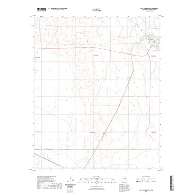
2023 Map of Fort Sumner West
USGS Topo · Published 2023About this map
The Pecos River valley defines the eastern edge of this De Baca County landscape, where the northwestern outskirts of Fort Sumner meet the high plains of New Mexico. The town's grid is represented by residential corridors like Santa Fe Ave and Trujillo St, leading toward the local burial grounds at Saint Anthony Cem. To the west, the terrain transitions into a more sparsely populated expanse of ranch land and section lines, marked by routes such as Steel Rd and the east-west corridor of Ricaedo Rd. Further south along the railway line, the small siding or settlement of Agudo sits isolated within the expansive prairie, illustrating the region's historical reliance on rail and road networks to connect its remote ranching communities. This survey documents the intersection of river-dependent settlement and the vast, open range of eastern New Mexico.
Find a feature on this map
24 named features on this map. Tap any name to fly to it.
Don’t see what you’re looking for? This feature index may not catch every label — zoom into the map to look around manually.
Map Details
Editions of this 2023 Fort Sumner West Map
This is the sole edition of this map. No revisions or reprints were ever made.
Other maps of this area

1954 · Fort Sumner
USGS Topo · 1:250,000

1958 · Fort Sumner
USGS Topo · 1:250,000

1965 · Fort Sumner West
USGS Topo · 1:24,000

1965 · Windmill Draw
USGS Topo · 1:24,000

1966 · West Camp
USGS Topo · 1:24,000

1966 · Alamo Ranch
USGS Topo · 1:24,000

1966 · Ricardo
USGS Topo · 1:24,000

1966 · Alamogordo Dam
USGS Topo · 1:24,000

1968 · Fort Sumner East
USGS Topo · 1:24,000

1968 · Bonner Lake
USGS Topo · 1:24,000