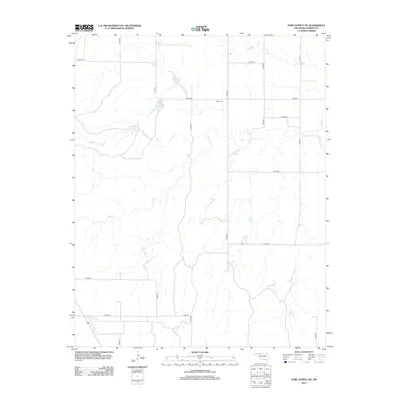
2012 Map of Fort Supply NE
USGS Topo · Published 2012About this map
Kibby Cem serves as a primary historical landmark in this section of Harper County, situated north of the winding Sand Cr. This landscape is defined by its rural section-line road network, where routes like N1920 Rd and E0190 Rd facilitate travel across the prairie terrain. The map documents the intricate drainage patterns of the creek as it meanders through the central and western portions of the quadrangle. For those studying Oklahoma land use or regional genealogy, this 2012 survey provides a clear record of the intersection between traditional watercourses and the modern grid of county roads such as E0260 Rd.
Find a feature on this map
15 named features on this map. Tap any name to fly to it.
Don’t see what you’re looking for? This feature index may not catch every label — zoom into the map to look around manually.
Map Details
Editions of this 2012 Fort Supply NE Map
This is the sole edition of this map. No revisions or reprints were ever made.
Other maps of this area

1955 · Woodward
USGS Topo · 1:250,000

1958 · Woodward
USGS Topo · 1:250,000

1970 · Buffalo SE
USGS Topo · 1:24,000

1970 · Sleeping Bear Creek SW
USGS Topo · 1:24,000

1970 · Sleeping Bear Creek NW
USGS Topo · 1:24,000

1970 · Buffalo
USGS Topo · 1:24,000

1971 · May East
USGS Topo · 1:24,000

1971 · Fort Supply
USGS Topo · 1:24,000

1971 · Fort Supply NW
USGS Topo · 1:24,000

1971 · Selman
USGS Topo · 1:24,000