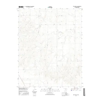
2016 Map of Fort Supply NE
USGS Topo · Published 2016About this map
Kibby Cem serves as a small but significant historical marker in this rural corner of Harper County. The landscape is defined by the winding course of Sand Cr, which cuts through the terrain toward the Owens 2 Reservoir in the central-east portion of the quadrangle. Transportation is primarily facilitated by a grid of county roads, including E0190 Rd and N1920 Rd, while Highway 183 clips the southwestern corner, connecting this agricultural region to larger transit corridors. The map reflects a modern state of land use where ranching and local water management dominate the topography, providing a detailed record of property boundaries and rural infrastructure as they existed in the mid-2010s.
Find a feature on this map
22 named features on this map. Tap any name to fly to it.
Don’t see what you’re looking for? This feature index may not catch every label — zoom into the map to look around manually.
Map Details
Editions of this 2016 Fort Supply NE Map
This is the sole edition of this map. No revisions or reprints were ever made.
Other maps of this area

1955 · Woodward
USGS Topo · 1:250,000

1958 · Woodward
USGS Topo · 1:250,000

1970 · Buffalo SE
USGS Topo · 1:24,000

1970 · Sleeping Bear Creek SW
USGS Topo · 1:24,000

1970 · Sleeping Bear Creek NW
USGS Topo · 1:24,000

1970 · Buffalo
USGS Topo · 1:24,000

1971 · May East
USGS Topo · 1:24,000

1971 · Fort Supply
USGS Topo · 1:24,000

1971 · Fort Supply NW
USGS Topo · 1:24,000

1971 · Selman
USGS Topo · 1:24,000