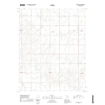
2018 Map of Fort Supply NE
USGS Topo · Published 2018About this map
Kibby Cem stands as a focal point for family history in this portion of Harper County, situated amid a landscape defined by the drainage of Sand Cr. The terrain is marked by numerous small impoundments, including 05929 Reservoir and 05931 Reservoir, which illustrate the modern water management patterns essential for this ranching and agricultural region. The section lines are clearly delineated by a network of rural routes such as n1940 RD and e0200 RD, providing a precise look at the township and range system (T26N and T25N) that governs land ownership in northwestern Oklahoma. This 2018 survey reveals the persistent rural character of the area, where land use remains centered on large-scale plots and the natural contours of the creek valleys.
Find a feature on this map
31 named features on this map. Tap any name to fly to it.
Don’t see what you’re looking for? This feature index may not catch every label — zoom into the map to look around manually.
Map Details
Editions of this 2018 Fort Supply NE Map
This is the sole edition of this map. No revisions or reprints were ever made.
Other maps of this area

1955 · Woodward
USGS Topo · 1:250,000

1958 · Woodward
USGS Topo · 1:250,000

1970 · Buffalo SE
USGS Topo · 1:24,000

1970 · Sleeping Bear Creek SW
USGS Topo · 1:24,000

1970 · Sleeping Bear Creek NW
USGS Topo · 1:24,000

1970 · Buffalo
USGS Topo · 1:24,000

1971 · May East
USGS Topo · 1:24,000

1971 · Fort Supply
USGS Topo · 1:24,000

1971 · Fort Supply NW
USGS Topo · 1:24,000

1971 · Selman
USGS Topo · 1:24,000