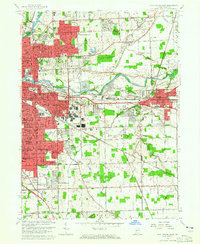
1963 Map of Fort Wayne East
USGS Topo · Published 1965About this map
The confluence of the St Joseph River and the St Marys River forms the Maumee River, anchoring the eastern expansion of Fort Wayne in the early 1960s. This survey illustrates the residential growth of the era, from the established neighborhoods of Greendale and Hacienda Village in the north to the postwar developments of Anthony Wayne Village and Village Woods further south. The landscape is heavily influenced by a dense network of transit, including the Pennsylvania Railroad, Wabash Railroad, and the New York Chicago and St Louis RR cutting through the center of the sheet.
Find a feature on this map
94 named features on this map. Tap any name to fly to it.
Don’t see what you’re looking for? This feature index may not catch every label — zoom into the map to look around manually.
Map Details
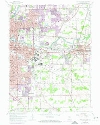
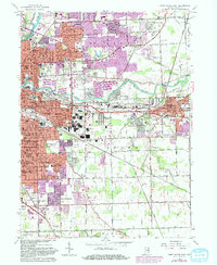
Editions of this 1963 Fort Wayne East Map
3 editions found
Other maps of this area

1953 · Fort Wayne
USGS Topo · 1:250,000

1953 · Muncie
USGS Topo · 1:250,000

1956 · Muncie
USGS Topo · 1:250,000

1956 · Fort Wayne
USGS Topo · 1:250,000

1956 · Fort Wayne West
USGS Topo · 1:24,000

1956 · Fort Wayne East
USGS Topo · 1:24,000

1956 · Cedarville
USGS Topo · 1:24,000

1957 · Maples
USGS Topo · 1:24,000

1957 · Huntertown
USGS Topo · 1:24,000

1958 · Grabill
USGS Topo · 1:24,000