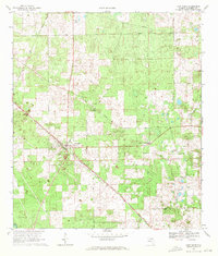
1969 Map of Fort White
USGS Topo · Published 1971About this map
Fort White serves as the focal point of this late-1960s survey of southern Columbia County, positioned at the junction of the Seaboard Coast Line and a network of named local routes. The landscape is defined by its small-town infrastructure, including the Fort White Sch and a series of rural houses of worship such as Shiloh Ch and Bethlehem Ch. The presence of Bellamy Road and Old Grade Road suggests the enduring path of historic transit lines through the region. Land use appears split between cleared agricultural plots and forested tracts, with several small family or community-named roads like Herlong Road and Pineville Road branching out into the countryside. For those tracing local history, the Bethlehem Cem and the Tustenuggee Ch provide specific coordinates for community centers that have anchored this part of North Florida for generations.
Find a feature on this map
17 named features on this map. Tap any name to fly to it.
Don’t see what you’re looking for? This feature index may not catch every label — zoom into the map to look around manually.
Map Details
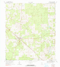
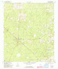
Editions of this 1969 Fort White Map
3 editions found
Other maps of this area

1954 · Gainesville
USGS Topo · 1:250,000

1954 · Valdosta
USGS Topo · 1:250,000

1958 · Valdosta
USGS Topo · 1:250,000

1958 · Gainesville
USGS Topo · 1:250,000

1959 · Valdosta
USGS Topo · 1:250,000

1959 · Gainesville
USGS Topo · 1:250,000

1962 · High Springs
USGS Topo · 1:24,000

1962 · Mikesville
USGS Topo · 1:24,000

1963 · Ellisville
USGS Topo · 1:24,000

1963 · Columbia
USGS Topo · 1:24,000