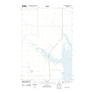
2011 Map of Fort Yates NW
USGS Topo · Published 2011About this map
The Missouri River defines the eastern boundary of this North Dakota landscape, where the waters meet the sweeping expanse of Kenel Flats. This 2011 survey by the U.S. Geological Survey illustrates a transition between riparian wetlands and the high plains, as several prominent waterways including Battle Creek, Porcupine Creek, and Stone Man Creek converge toward the Missouri. Near the southern edge of the sheet, Stone Man Dam regulates the flow of its namesake creek before it enters the river's floodplain. Human presence is marked by the remote Saint Lukes Cemetery near the riverbank and the path of BIA Road 8, reflecting the rural character and land management within this region of Sioux County. The map provides a detailed look at the drainage patterns and topography surrounding these vital water sources on the Standing Rock Reservation.
Find a feature on this map
10 named features on this map. Tap any name to fly to it.
Don’t see what you’re looking for? This feature index may not catch every label — zoom into the map to look around manually.
Map Details
Editions of this 2011 Fort Yates NW Map
This is the sole edition of this map. No revisions or reprints were ever made.
Other maps of this area

1954 · Bismarck
USGS Topo · 1:250,000

1958 · Bismarck
USGS Topo · 1:250,000

1968 · Cannon Ball SE
USGS Topo · 1:24,000

1968 · Fort Yates NW
USGS Topo · 1:24,000

1968 · Fort Yates SE
USGS Topo · 1:24,000

1968 · Fort Yates
USGS Topo · 1:24,000

1968 · Fort Yates NE
USGS Topo · 1:24,000

1968 · Cannon Ball SW
USGS Topo · 1:24,000

1971 · Barren Butte
USGS Topo · 1:24,000

1971 · Half Timber Butte
USGS Topo · 1:24,000