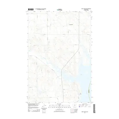
2014 Map of Fort Yates NW
USGS Topo · Published 2014About this map
Cannon Ball sits along the northern edge of this landscape, where the prairie breaks into the complex drainages of the Missouri River valley. The map documents the vast reach of Lake Oahe, which dominates the eastern half of the sheet, defining the border between Sioux Co and Emmons Co. This impoundment of the Missouri has altered the original river course, though historical creek beds like Battle Cr, Stone Man Cr, and Porcupine Cr still carve through the surrounding highlands. A grid of section roads, including 14th Ave SW and 83rd St SW, provides access to the high ground overlooking the reservoir. Genealogists will find the location of Saint Lukes Cem particularly valuable, situated on the bluffs above the lake in the southeastern portion of the quadrangle.
Find a feature on this map
22 named features on this map. Tap any name to fly to it.
Don’t see what you’re looking for? This feature index may not catch every label — zoom into the map to look around manually.
Map Details
Editions of this 2014 Fort Yates NW Map
This is the sole edition of this map. No revisions or reprints were ever made.
Other maps of this area

1954 · Bismarck
USGS Topo · 1:250,000

1958 · Bismarck
USGS Topo · 1:250,000

1968 · Cannon Ball SE
USGS Topo · 1:24,000

1968 · Fort Yates NW
USGS Topo · 1:24,000

1968 · Fort Yates SE
USGS Topo · 1:24,000

1968 · Fort Yates
USGS Topo · 1:24,000

1968 · Fort Yates NE
USGS Topo · 1:24,000

1968 · Cannon Ball SW
USGS Topo · 1:24,000

1971 · Barren Butte
USGS Topo · 1:24,000

1971 · Half Timber Butte
USGS Topo · 1:24,000