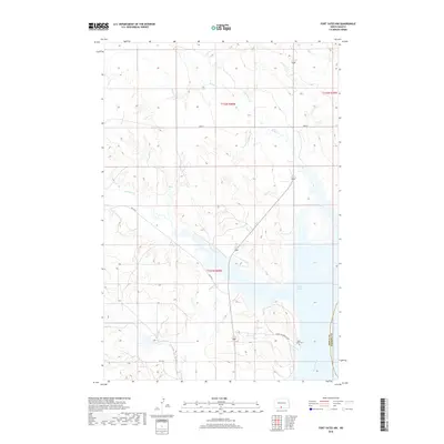
2018 Map of Fort Yates NW
USGS Topo · Published 2018About this map
Lake Oahe and the Missouri River define the eastern boundary of this Sioux County landscape, where the water's edge meets a complex system of drainages. The topography is deeply incised by multiple seasonal waterways, including Battle Cr, Porcupine Creek, and Stone-Man Creek, which carve through the plains toward the river valley. The infrastructure reflects a mix of modern and local designations, notably Loans Him Arrow Loop and several Bureau of Indian Affairs routes like BIA Rte 6. Near the river bank, Saint Lukes Cem stands as a significant landmark for genealogical research and local history. The map illustrates the intersection of natural river geography and the established road network, showing how local transit follows the ridges between the numerous creek beds.
Find a feature on this map
17 named features on this map. Tap any name to fly to it.
Don’t see what you’re looking for? This feature index may not catch every label — zoom into the map to look around manually.
Map Details
Editions of this 2018 Fort Yates NW Map
This is the sole edition of this map. No revisions or reprints were ever made.
Other maps of this area

1954 · Bismarck
USGS Topo · 1:250,000

1958 · Bismarck
USGS Topo · 1:250,000

1968 · Cannon Ball SE
USGS Topo · 1:24,000

1968 · Fort Yates NW
USGS Topo · 1:24,000

1968 · Fort Yates SE
USGS Topo · 1:24,000

1968 · Fort Yates
USGS Topo · 1:24,000

1968 · Fort Yates NE
USGS Topo · 1:24,000

1968 · Cannon Ball SW
USGS Topo · 1:24,000

1971 · Barren Butte
USGS Topo · 1:24,000

1971 · Half Timber Butte
USGS Topo · 1:24,000