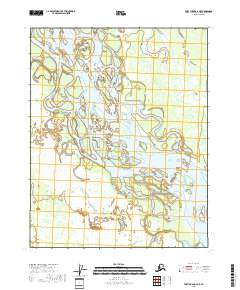
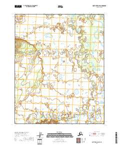
2018 Map of Fort Yukon A-2 NE
USGS Topo · Published 2018About this map
Yukon River dominance defines this portion of the interior, where the massive waterway splits into an intricate web of braids, bars, and shifting channels. Within this dynamic fluvial landscape lies Saloon Island, a major topographical feature surrounded by the river's various arms. The presence of Halfway Whirlpool along the main channel provides a rare specific navigational landmark in a region otherwise characterized by vast wetlands and seasonal floodplains. This 2018 survey documents the precise configuration of these waterways and islands before natural shifts in current and ice melt inevitably reshape the banks. The map highlights the intersection of public land survey boundaries, including t16n r14e and t16n r15e, which organize this untamed segment of the Yukon-Koyukuk Census Area.
Find a feature on this map
7 named features on this map. Tap any name to fly to it.
Don’t see what you’re looking for? This feature index may not catch every label — zoom into the map to look around manually.
Map Details
Editions of this 2018 Fort Yukon A-2 NE Map
This is the sole edition of this map. No revisions or reprints were ever made.
Other maps of this area

1951 · Fort Yukon
USGS Topo · 1:250,000

1956 · Fort Yukon A-2
USGS Topo · 1:63,360

1956 · Fort Yukon B-1
USGS Topo · 1:63,360

1956 · Fort Yukon A-1
USGS Topo · 1:63,360

1956 · Fort Yukon B-2
USGS Topo · 1:63,360

1956 · Fort Yukon
USGS Topo · 1:250,000
1966 · Fort Yukon A-2
USGS Topo · 1:63,360
2018 · Fort Yukon B-2 SE
USGS Topo · 1:25,000
2018 · Fort Yukon A-1 SW
USGS Topo · 1:25,000
2018 · Fort Yukon A-2 SW
USGS Topo · 1:25,000