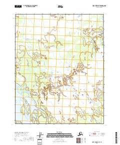
2018 Map of Fort Yukon B-2 SE
USGS Topo · Published 2018About this map
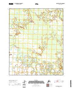
The Yukon River winds through the southwestern corner of this map, defining a landscape dominated by complex wetland networks and intricate waterways in the Alaskan interior. This 2018 survey reveals the braided nature of the river as it moves through the Yukon-Koyukuk Census Area, showing the shifting channels and numerous small islands typical of this low-lying fluvial environment. The remainder of the sheet is largely defined by the Public Land Survey System grids of t18n r14e, t18n r15e, t17n r14e, and t17n r15e, which organize the vast, uninhabited reaches of the northern flats. These surveying lines provide the only structural human overlay on a terrain otherwise governed by the natural rhythms of the subarctic water cycle.
Find a feature on this map
5 named features on this map. Tap any name to fly to it.
Don’t see what you’re looking for? This feature index may not catch every label — zoom into the map to look around manually.
Map Details
Editions of this 2018 Fort Yukon B-2 SE Map
This is the sole edition of this map. No revisions or reprints were ever made.
Other maps of this area

1951 · Fort Yukon
USGS Topo · 1:250,000

1956 · Fort Yukon A-2
USGS Topo · 1:63,360

1956 · Fort Yukon B-1
USGS Topo · 1:63,360

1956 · Fort Yukon A-1
USGS Topo · 1:63,360

1956 · Fort Yukon B-2
USGS Topo · 1:63,360

1956 · Fort Yukon
USGS Topo · 1:250,000
1966 · Fort Yukon A-2
USGS Topo · 1:63,360
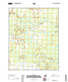
2018 · Fort Yukon B-1 NW
USGS Topo · 1:25,000
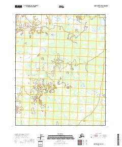
2018 · Fort Yukon B-1 SW
USGS Topo · 1:25,000
2018 · Fort Yukon A-2 NW
USGS Topo · 1:25,000