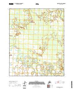
2018 Map of Fort Yukon A-2 NW
USGS Topo · Published 2018About this map
Birch Creek dominates this portion of the Yukon-Koyukuk Census Area, winding through a complex network of wetlands and oxbow lakes that illustrate the ever-shifting hydrology of the Alaskan interior. This U.S. Department of the Interior study focuses on a largely uninhabited landscape defined by its riparian patterns and the survey lines of t16n r13e, t16n r14e, and t15n r13e. The inclusion of Little Preacher Creek provides a specific point of reference for researchers tracking the intricate drainage basins of the region. The map’s reliance on data from the National Hydrography Dataset and National Elevation Dataset ensures a precise recording of the water-saturated terrain and subtle elevation changes characteristic of this subarctic wilderness.
Find a feature on this map
6 named features on this map. Tap any name to fly to it.
Don’t see what you’re looking for? This feature index may not catch every label — zoom into the map to look around manually.
Map Details
Editions of this 2018 Fort Yukon A-2 NW Map
This is the sole edition of this map. No revisions or reprints were ever made.
Other maps of this area

1951 · Fort Yukon
USGS Topo · 1:250,000

1956 · Fort Yukon A-2
USGS Topo · 1:63,360

1956 · Fort Yukon B-3
USGS Topo · 1:63,360

1956 · Fort Yukon B-2
USGS Topo · 1:63,360
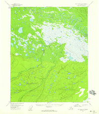
1956 · Fort Yukon A-3
USGS Topo · 1:63,360

1956 · Fort Yukon
USGS Topo · 1:250,000
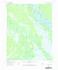
1966 · Fort Yukon A-2
USGS Topo · 1:63,360
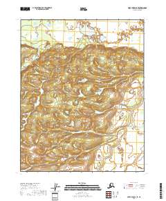
2018 · Fort Yukon A-3 SE
USGS Topo · 1:25,000
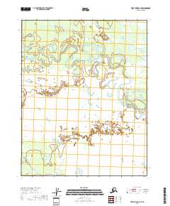
2018 · Fort Yukon A-3 NE
USGS Topo · 1:25,000
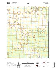
2018 · Fort Yukon B-3 SE
USGS Topo · 1:25,000