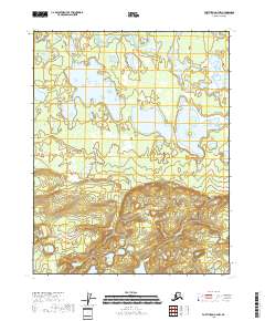
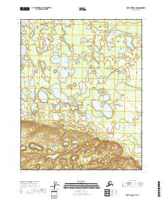
2018 Map of Fort Yukon A-4 NW
USGS Topo · Published 2018About this map
Lower Mouth Birch Creek flows through the northern reaches of this landscape, a remote section of the Yukon-Koyukuk region characterized by expansive wetlands and a complex system of interior lakes. The hydrography of the area is defined by significant bodies of water such as Chloya Lake and the interconnected waters of Three Lakes, which sit amidst the low-lying terrain typical of this subarctic environment. To the east, Twin Island Lake provides a distinct geographic landmark within the survey area.
Find a feature on this map
8 named features on this map. Tap any name to fly to it.
Don’t see what you’re looking for? This feature index may not catch every label — zoom into the map to look around manually.
Map Details
Editions of this 2018 Fort Yukon A-4 NW Map
This is the sole edition of this map. No revisions or reprints were ever made.
Other maps of this area

1951 · Fort Yukon
USGS Topo · 1:250,000

1956 · Fort Yukon B-4
USGS Topo · 1:63,360

1956 · Fort Yukon A-4
USGS Topo · 1:63,360

1956 · Fort Yukon A-5
USGS Topo · 1:63,360

1956 · Fort Yukon B-5
USGS Topo · 1:63,360

1956 · Fort Yukon
USGS Topo · 1:250,000
1966 · Fort Yukon A-4
USGS Topo · 1:63,360
2018 · Fort Yukon B-4 SW
USGS Topo · 1:25,000
2018 · Fort Yukon B-4 SE
USGS Topo · 1:25,000
2018 · Fort Yukon A-4 NE
USGS Topo · 1:25,000