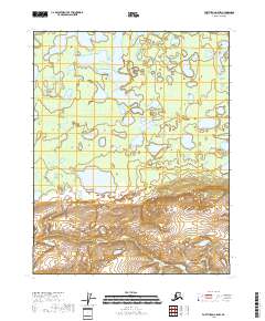
2018 Map of Fort Yukon A-5 NW
USGS Topo · Published 2018About this map
Yukon Flats dominates this remote interior landscape, characterized by a complex network of wetlands and shallow water bodies in the northern reaches of the Alaskan wilderness. The meandering course of Beaver Creek and the smaller Big Cr weave through a terrain shaped by the dynamic hydrology of the region, where countless unnamed ponds and marshes fill the low-lying basin. The 2018 survey reveals a landscape where the natural drainage patterns remain largely undisturbed by modern infrastructure, preserving the intricate systems of the Yukon Flats. This map serves as an essential record for understanding the environmental geography and hydrological shifts within this protected wilderness area during the early 21st century.
Find a feature on this map
9 named features on this map. Tap any name to fly to it.
Don’t see what you’re looking for? This feature index may not catch every label — zoom into the map to look around manually.
Map Details
Editions of this 2018 Fort Yukon A-5 NW Map
This is the sole edition of this map. No revisions or reprints were ever made.
Other maps of this area

1951 · Fort Yukon
USGS Topo · 1:250,000

1956 · Fort Yukon B-6
USGS Topo · 1:63,360
1956 · Fort Yukon A-6
USGS Topo · 1:63,360

1956 · Fort Yukon A-5
USGS Topo · 1:63,360

1956 · Fort Yukon B-5
USGS Topo · 1:63,360

1956 · Fort Yukon
USGS Topo · 1:250,000
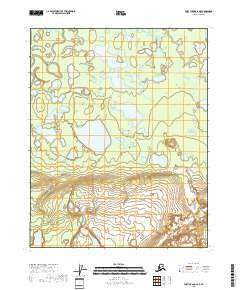
2018 · Fort Yukon A-6 NE
USGS Topo · 1:25,000
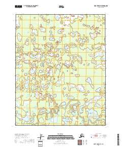
2018 · Fort Yukon B-6 SE
USGS Topo · 1:25,000
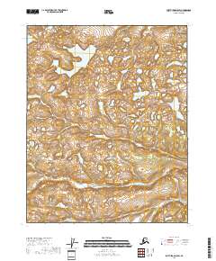
2018 · Fort Yukon A-5 SW
USGS Topo · 1:25,000
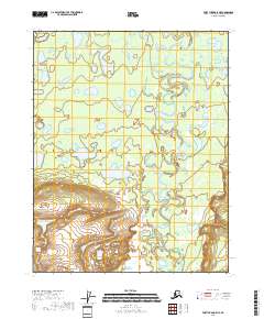
2018 · Fort Yukon A-5 NE
USGS Topo · 1:25,000