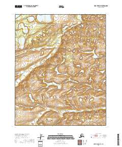
2018 Map of Fort Yukon A-6 SE
USGS Topo · Published 2018About this map
Big Cr and Flat Cr wind through the interior wilderness of the Yukon-Koyukuk Census Area in this 2018 topographic study. The landscape is defined by its complex hydrography, where numerous unnamed ponds and wetlands surround the distinctively named Why Lake. This map represents the remote northern interior of Alaska, dominated by the cadastral divisions of t15n r5e, t15n r6e, t14n r5e, and t14n r6e. The terrain data reveals a subtle network of elevation changes and water drainage patterns characteristic of the region's subarctic environment, offering a technical look at a largely untouched expanse of the Alaskan bush.
Find a feature on this map
7 named features on this map. Tap any name to fly to it.
Don’t see what you’re looking for? This feature index may not catch every label — zoom into the map to look around manually.
Map Details
Editions of this 2018 Fort Yukon A-6 SE Map
This is the sole edition of this map. No revisions or reprints were ever made.
Other maps of this area

1951 · Fort Yukon
USGS Topo · 1:250,000

1951 · Circle
USGS Topo · 1:250,000

1951 · Circle D-6
USGS Topo · 1:63,360

1952 · Circle D-5
USGS Topo · 1:63,360

1954 · Circle D-5
USGS Topo · 1:63,360

1954 · Circle D-6
USGS Topo · 1:63,360

1955 · Circle
USGS Topo · 1:250,000
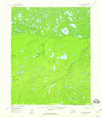
1956 · Fort Yukon A-6
USGS Topo · 1:63,360

1956 · Fort Yukon A-5
USGS Topo · 1:63,360

1956 · Fort Yukon
USGS Topo · 1:250,000