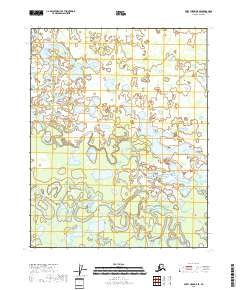
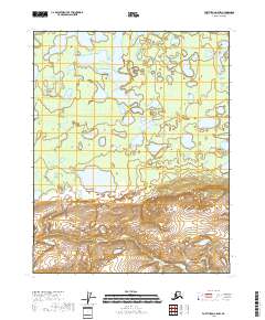
2018 Map of Fort Yukon B-5 SE
USGS Topo · Published 2018About this map
Beaver Creek meanders across the southern portion of this landscape, its complex loops and oxbows illustrating the dynamic hydrology of the Yukon Flats. To the north, the winding course of Lower Mouth Birch Creek flows through a dense network of wetlands and seasonal ponds, eventually passing Scaup Lake. The terrain is defined by this intricate water system, where the slow-moving currents have carved a labyrinth of channels through the low-lying interior. This survey captures a remote wilderness environment before major shifts in the river corridors, providing a detailed record of the shifting watercourses and the specific placement of named bodies like Scaup Lake and the various forks of the interior creeks.
Find a feature on this map
7 named features on this map. Tap any name to fly to it.
Don’t see what you’re looking for? This feature index may not catch every label — zoom into the map to look around manually.
Map Details
Editions of this 2018 Fort Yukon B-5 SE Map
This is the sole edition of this map. No revisions or reprints were ever made.
Other maps of this area

1951 · Fort Yukon
USGS Topo · 1:250,000

1956 · Fort Yukon B-4
USGS Topo · 1:63,360

1956 · Fort Yukon A-4
USGS Topo · 1:63,360

1956 · Fort Yukon A-5
USGS Topo · 1:63,360

1956 · Fort Yukon B-5
USGS Topo · 1:63,360

1956 · Fort Yukon
USGS Topo · 1:250,000
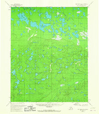
1966 · Fort Yukon A-4
USGS Topo · 1:63,360
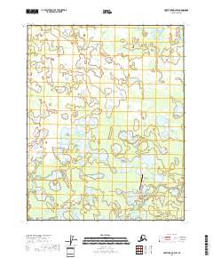
2018 · Fort Yukon B-4 SW
USGS Topo · 1:25,000
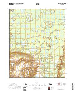
2018 · Fort Yukon A-5 NE
USGS Topo · 1:25,000
2018 · Fort Yukon A-5 NW
USGS Topo · 1:25,000