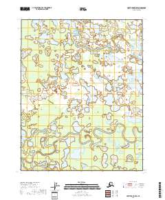
2018 Map of Fort Yukon B-5 SW
USGS Topo · Published 2018About this map
Beaver Creek meanders through the marshy landscape of the northern interior, defining much of the drainage pattern in this section of the Yukon-Koyukuk region. The area is characterized by a high density of small lakes and interconnected wetlands typical of the Alaskan taiga, where water bodies frequently shift their banks. In the northeastern corner of the map, Lower Mouth Birch Creek flows through the low-lying terrain, illustrating the complex fluvial systems that dominate this subarctic environment. The lack of roads or established settlements emphasizes the remote nature of the territory, where the landscape remains largely shaped by seasonal water levels and natural drainage across the flats.
Find a feature on this map
6 named features on this map. Tap any name to fly to it.
Don’t see what you’re looking for? This feature index may not catch every label — zoom into the map to look around manually.
Map Details
Editions of this 2018 Fort Yukon B-5 SW Map
This is the sole edition of this map. No revisions or reprints were ever made.
Other maps of this area

1951 · Fort Yukon
USGS Topo · 1:250,000

1956 · Fort Yukon B-6
USGS Topo · 1:63,360
1956 · Fort Yukon A-6
USGS Topo · 1:63,360

1956 · Fort Yukon A-5
USGS Topo · 1:63,360

1956 · Fort Yukon B-5
USGS Topo · 1:63,360

1956 · Fort Yukon
USGS Topo · 1:250,000
2018 · Fort Yukon A-6 NE
USGS Topo · 1:25,000
2018 · Fort Yukon B-6 SE
USGS Topo · 1:25,000
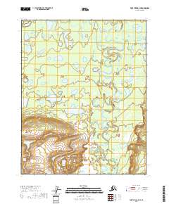
2018 · Fort Yukon A-5 NE
USGS Topo · 1:25,000
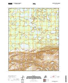
2018 · Fort Yukon A-5 NW
USGS Topo · 1:25,000