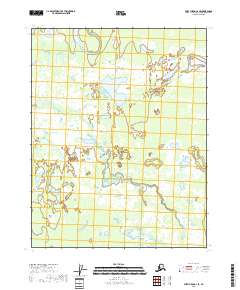
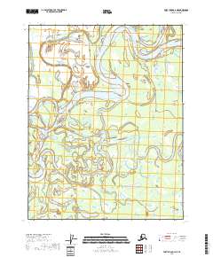
2018 Map of Fort Yukon C-2 SE
USGS Topo · Published 2018About this map
Grass River snakes through the center of this wetland landscape within the Yukon-Koyukuk region, defining the drainage patterns of this remote northern interior. The terrain is characterized by an intricate network of marshes and water bodies, centered around the prominent Koduit Lake. This 2018 survey reveals a landscape where natural hydrology remains the dominant feature, as no roads or permanent human settlements are noted on the sheet. The map provides a detailed record of the shifting channels and standing water that dictate the geography of the Grass River basin, offering a specialized look at the wilderness north of the Arctic Circle.
Find a feature on this map
8 named features on this map. Tap any name to fly to it.
Don’t see what you’re looking for? This feature index may not catch every label — zoom into the map to look around manually.
Map Details
Editions of this 2018 Fort Yukon C-2 SE Map
This is the sole edition of this map. No revisions or reprints were ever made.
Other maps of this area

1951 · Fort Yukon
USGS Topo · 1:250,000

1952 · Fort Yukon C-2
USGS Topo · 1:63,360

1956 · Fort Yukon C-1
USGS Topo · 1:63,360

1956 · Fort Yukon B-1
USGS Topo · 1:63,360

1956 · Fort Yukon B-2
USGS Topo · 1:63,360

1956 · Fort Yukon
USGS Topo · 1:250,000
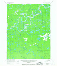
1956 · Fort Yukon C-2
USGS Topo · 1:63,360
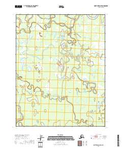
2018 · Fort Yukon C-2 SW
USGS Topo · 1:25,000
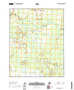
2018 · Fort Yukon B-1 NW
USGS Topo · 1:25,000
2018 · Fort Yukon C-2 NE
USGS Topo · 1:25,000