Loading...
Loading map...2023 Map of Fortescue
USGS Topo · Published 2023About this map
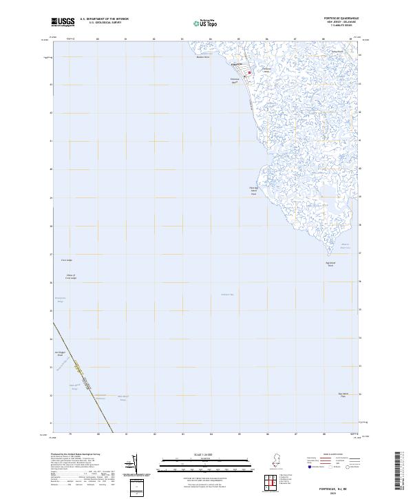
The coastal village of Fortescue serves as a primary point of human activity in this tidal environment, where Delaware Ave and Co RD 637 provide the only land access to the shoreline. The landscape is defined by the complex interaction of land and water along Delaware Bay, characterized by a dense network of marshes and water bodies like Courtney Ponds and Fishing Creek. To the south, Egg Island Point and False Egg Island Point mark the shift toward Maurice River Cove.
Find a feature on this map
34 named features on this map. Tap any name to fly to it.
Don’t see what you’re looking for? This feature index may not catch every label — zoom into the map to look around manually.
Map Details
Date Portrayed2023
Date Published2023
PublisherU.S. Geological Survey
Map TypeTopographic
Scale1:24000
Physical Dimensions24 x 29 inches
Editions of this 2023 Fortescue Map
This is the sole edition of this map. No revisions or reprints were ever made.
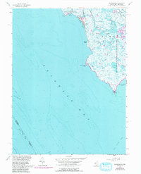
Historical Maps of Raybins Beach Through Time
Featured Locations
- Kent County, DE
- Cumberland County, NJ
- Downe Township, NJ
- Fortescue, Downe Township
- Raybins Beach, Downe Township
Source Details
SourceU.S. Geological Survey
CopyrightPublic Domain