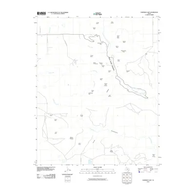
2010 Map of Fortress Cliff
USGS Topo · Published 2010About this map
Palo Duro Canyon dominates this landscape, where the Prairie Dog Town Fork Red River carves through the High Plains of Randall County. The map documents a terrain defined by dramatic verticality, featuring the towering Fortress Cliff and the sharp profiles of Lighthouse Peak and Castle Peak. These landforms suggest the complex erosion patterns of the Texas Panhandle, where mesas like Timber Mesa and plateaus such as Elbow Plateau and Swan Plateau rise above a network of canyons and draws.
Find a feature on this map
44 named features on this map. Tap any name to fly to it.
Don’t see what you’re looking for? This feature index may not catch every label — zoom into the map to look around manually.
Map Details
Editions of this 2010 Fortress Cliff Map
This is the sole edition of this map. No revisions or reprints were ever made.
Other maps of this area

1954 · Amarillo
USGS Topo · 1:250,000

1954 · Plainview
USGS Topo · 1:250,000

1956 · Fortress Cliff
USGS Topo · 1:24,000

1956 · Thomas Ranch
USGS Topo · 1:24,000

1958 · Amarillo
USGS Topo · 1:250,000

1958 · Plainview
USGS Topo · 1:250,000

1960 · Canyon
USGS Topo · 1:62,500

1960 · Fairview
USGS Topo · 1:24,000

1960 · The Palisades
USGS Topo · 1:24,000

1960 · Wayside
USGS Topo · 1:62,500